CAN Canberra, Australia - Earthquake Result Viewer
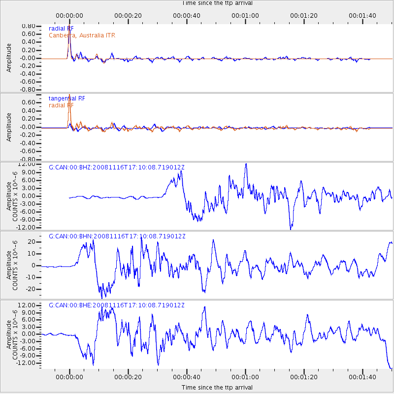
Earthquake location: Minahassa Peninsula, Sulawesi
Earthquake latitude/longitude: 1.3/122.1
Earthquake time(UTC): 2008/11/16 (321) 17:02:32 GMT
Earthquake Depth: 30 km
Earthquake Magnitude: 6.5 MB, 7.0 MS, 7.3 MW, 7.3 MW
Earthquake Catalog/Contributor: WHDF/NEIC
Network: G GEOSCOPE
Station: CAN Canberra, Australia
Lat/Lon: 35.32 S/149.00 E
Elevation: 650 m
Distance: 44.2 deg
Az: 147.967 deg
Baz: 319.575 deg
Ray Param: 0.07198
Estimated Moho Depth: 25.75 km
Estimated Crust Vp/Vs: 1.63
Assumed Crust Vp: 6.633 km/s
Estimated Crust Vs: 4.07 km/s
Estimated Crust Poisson's Ratio: 0.20
Radial Match: 96.975784 %
Radial Bump: 283
Transverse Match: 84.89046 %
Transverse Bump: 400
SOD ConfigId: 2658
Insert Time: 2010-02-26 21:42:32.698 +0000
GWidth: 2.5
Max Bumps: 400
Tol: 0.001

Signal To Noise

ChannelStoNSTALTA
G:CAN:00:BHN:20081116T17:10:08.719012Z30.4189248.341733E-62.742284E-7
G:CAN:00:BHE:20081116T17:10:08.719012Z14.1053043.9876986E-62.8270915E-7
G:CAN:00:BHZ:20081116T17:10:08.719012Z8.944222.7703022E-63.0973104E-7
Arrivals
Ps2.6 SECOND
PpPs9.5 SECOND
PsPs/PpSs12 SECOND