HD67 HD67 - Earthquake Result Viewer
Earthquake location: Near East Coast Of Honshu, Japan
Earthquake latitude/longitude: 36.3/141.8
Earthquake time(UTC): 2014/03/29 (088) 01:53:57 GMT
Earthquake Depth: 20 km
Earthquake Magnitude: 5.5 MWC, 5.4 MWB, 5.5 MWC
Earthquake Catalog/Contributor: NEIC PDE/NEIC COMCAT
Network: XL Hangay Dome, Mongolia
Station: HD67 HD67
Lat/Lon: 46.35 N/99.05 E
Elevation: 2192 m
Distance: 33.3 deg
Az: 301.0 deg
Baz: 91.982 deg
Ray Param: 0.07825233
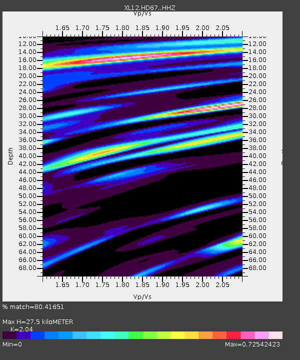
Estimated Moho Depth: 27.5 km
Estimated Crust Vp/Vs: 2.04
Assumed Crust Vp: 6.642 km/s
Estimated Crust Vs: 3.256 km/s
Estimated Crust Poisson's Ratio: 0.34
Radial Match: 80.41651 %
Radial Bump: 384
Transverse Match: 45.425453 %
Transverse Bump: 400
SOD ConfigId: 3390531
Insert Time: 2019-04-10 22:44:14.954 +0000
GWidth: 2.5
Max Bumps: 400
Tol: 0.001

Signal To Noise

ChannelStoNSTALTA
XL:HD67: :HHZ:20140329T02:00:02.918994Z5.83266541.7108611E-72.9332405E-8
XL:HD67: :HHN:20140329T02:00:02.918994Z1.72078376.12203E-83.5576985E-8
XL:HD67: :HHE:20140329T02:00:02.918994Z2.26039438.969928E-83.968302E-8
Arrivals
Ps4.6 SECOND
PpPs12 SECOND
PsPs/PpSs16 SECOND