O35A Humboldt, NE, USA - Earthquake Result Viewer
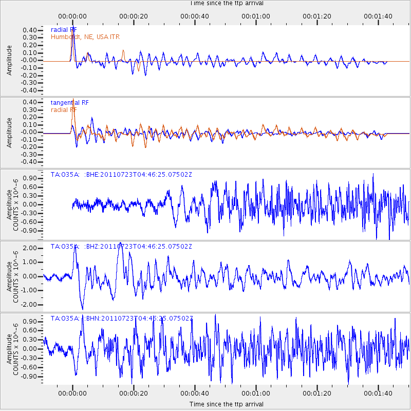
Earthquake location: Near East Coast Of Honshu, Japan
Earthquake latitude/longitude: 38.9/141.8
Earthquake time(UTC): 2011/07/23 (204) 04:34:24 GMT
Earthquake Depth: 41 km
Earthquake Magnitude: 5.9 MB, 5.9 MS, 6.4 MW, 6.3 MW
Earthquake Catalog/Contributor: WHDF/NEIC
Network: TA USArray Transportable Network (new EarthScope stations)
Station: O35A Humboldt, NE, USA
Lat/Lon: 40.27 N/95.91 W
Elevation: 342 m
Distance: 85.2 deg
Az: 40.484 deg
Baz: 318.541 deg
Ray Param: 0.04487742
Estimated Moho Depth: 46.25 km
Estimated Crust Vp/Vs: 1.72
Assumed Crust Vp: 6.498 km/s
Estimated Crust Vs: 3.789 km/s
Estimated Crust Poisson's Ratio: 0.24
Radial Match: 87.21954 %
Radial Bump: 400
Transverse Match: 84.68425 %
Transverse Bump: 400
SOD ConfigId: 405110
Insert Time: 2011-12-29 05:00:30.830 +0000
GWidth: 2.5
Max Bumps: 400
Tol: 0.001

Signal To Noise

ChannelStoNSTALTA
TA:O35A: :BHZ:20110723T04:46:25.07502Z10.2738451.2634539E-61.2297772E-7
TA:O35A: :BHN:20110723T04:46:25.07502Z2.70577054.9402803E-71.8258314E-7
TA:O35A: :BHE:20110723T04:46:25.07502Z3.07265453.4603744E-71.12618395E-7
Arrivals
Ps5.2 SECOND
PpPs19 SECOND
PsPs/PpSs24 SECOND