LEBA Lebam, WA, USA - Earthquake Result Viewer
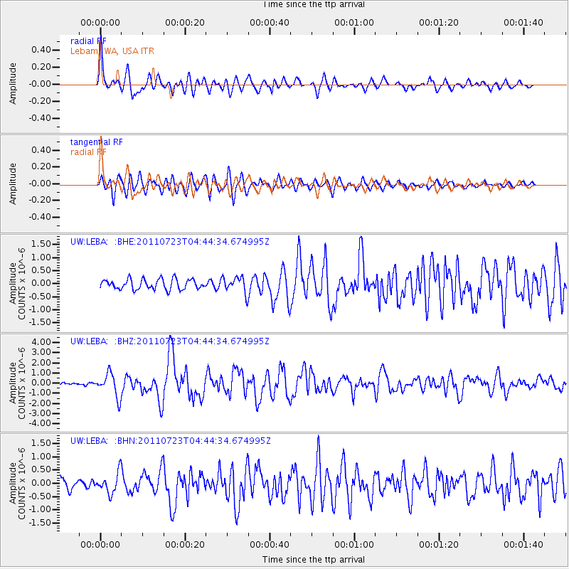
Earthquake location: Near East Coast Of Honshu, Japan
Earthquake latitude/longitude: 38.9/141.8
Earthquake time(UTC): 2011/07/23 (204) 04:34:24 GMT
Earthquake Depth: 41 km
Earthquake Magnitude: 5.9 MB, 5.9 MS, 6.4 MW, 6.3 MW
Earthquake Catalog/Contributor: WHDF/NEIC
Network: UW Pacific Northwest Regional Seismic Network
Station: LEBA Lebam, WA, USA
Lat/Lon: 46.55 N/123.56 W
Elevation: 73 m
Distance: 65.8 deg
Az: 48.934 deg
Baz: 301.527 deg
Ray Param: 0.057925295
Estimated Moho Depth: 64.25 km
Estimated Crust Vp/Vs: 1.62
Assumed Crust Vp: 6.566 km/s
Estimated Crust Vs: 4.047 km/s
Estimated Crust Poisson's Ratio: 0.19
Radial Match: 89.09635 %
Radial Bump: 400
Transverse Match: 80.9503 %
Transverse Bump: 400
SOD ConfigId: 405110
Insert Time: 2011-12-29 05:25:01.670 +0000
GWidth: 2.5
Max Bumps: 400
Tol: 0.001

Signal To Noise

ChannelStoNSTALTA
UW:LEBA: :BHZ:20110723T04:44:34.674995Z7.5693051.1942972E-61.5778161E-7
UW:LEBA: :BHN:20110723T04:44:34.674995Z1.83169333.933293E-72.1473535E-7
UW:LEBA: :BHE:20110723T04:44:34.674995Z1.60841523.106386E-71.9313332E-7
Arrivals
Ps6.4 SECOND
PpPs24 SECOND
PsPs/PpSs31 SECOND