
D37A Cotton, MN, USA - Earthquake Result Viewer
| ||||||||||||||||||
| ||||||||||||||||||
| ||||||||||||||||||
|
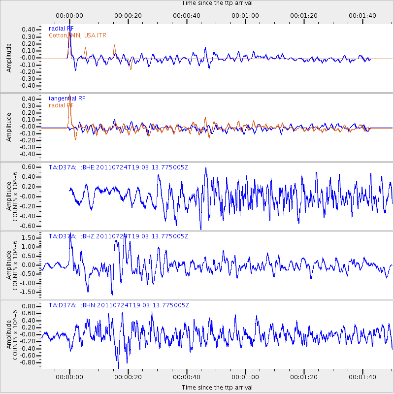
Signal To Noise
| Channel | StoN | STA | LTA |
| TA:D37A: :BHZ:20110724T19:03:13.775005Z | 5.4720407 | 6.551889E-7 | 1.1973391E-7 |
| TA:D37A: :BHN:20110724T19:03:13.775005Z | 1.9600549 | 2.148441E-7 | 1.0961127E-7 |
| TA:D37A: :BHE:20110724T19:03:13.775005Z | 2.2294664 | 2.7333172E-7 | 1.2259962E-7 |
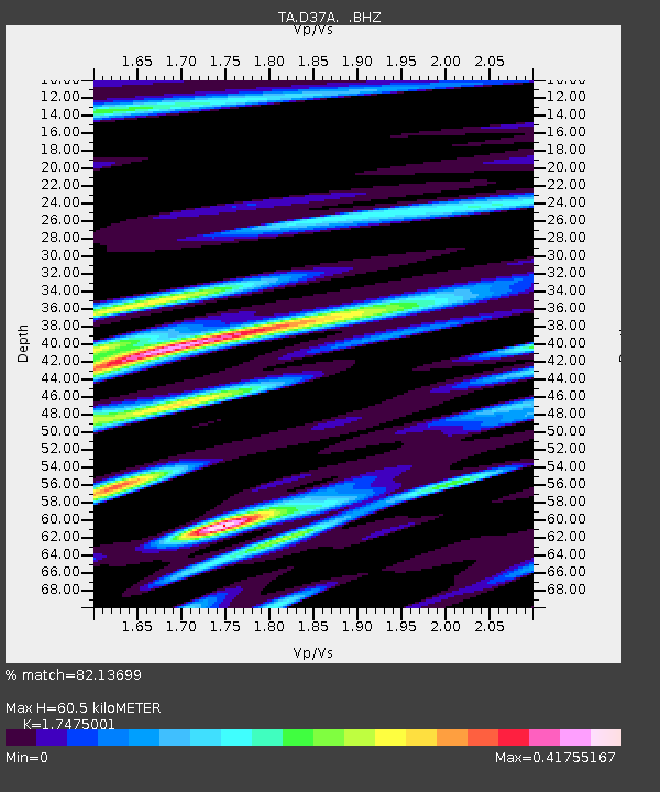
| Arrivals | |
| Ps | 7.1 SECOND |
| PpPs | 25 SECOND |
| PsPs/PpSs | 32 SECOND |

