S44A Carbondale, IL, USA - Earthquake Result Viewer
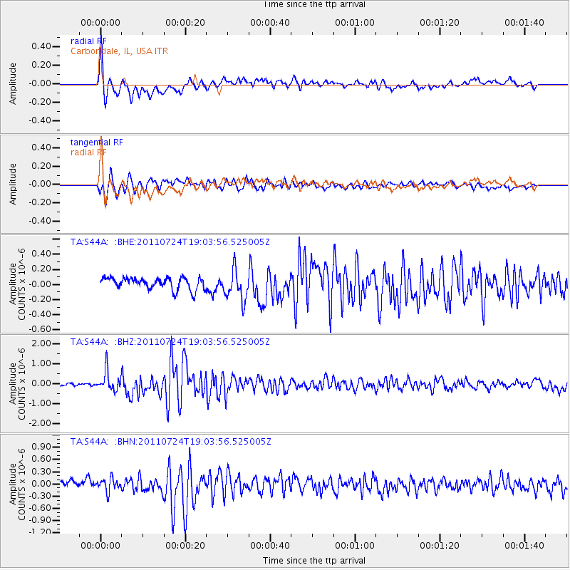
Earthquake location: Near East Coast Of Honshu, Japan
Earthquake latitude/longitude: 37.7/141.4
Earthquake time(UTC): 2011/07/24 (205) 18:51:24 GMT
Earthquake Depth: 35 km
Earthquake Magnitude: 6.3 MB, 5.9 MS, 6.3 MW, 6.3 MW
Earthquake Catalog/Contributor: WHDF/NEIC
Network: TA USArray Transportable Network (new EarthScope stations)
Station: S44A Carbondale, IL, USA
Lat/Lon: 37.69 N/89.26 W
Elevation: 155 m
Distance: 91.6 deg
Az: 37.854 deg
Baz: 322.165 deg
Ray Param: 0.04157679
Estimated Moho Depth: 11.5 km
Estimated Crust Vp/Vs: 2.10
Assumed Crust Vp: 6.444 km/s
Estimated Crust Vs: 3.072 km/s
Estimated Crust Poisson's Ratio: 0.35
Radial Match: 85.32362 %
Radial Bump: 400
Transverse Match: 82.10504 %
Transverse Bump: 400
SOD ConfigId: 405110
Insert Time: 2011-12-29 06:23:14.806 +0000
GWidth: 2.5
Max Bumps: 400
Tol: 0.001

Signal To Noise

ChannelStoNSTALTA
TA:S44A: :BHZ:20110724T19:03:56.525005Z8.45636755.0457265E-75.966778E-8
TA:S44A: :BHN:20110724T19:03:56.525005Z2.0926131.5945106E-77.619711E-8
TA:S44A: :BHE:20110724T19:03:56.525005Z2.6441492.057675E-77.7819934E-8
Arrivals
Ps2.0 SECOND
PpPs5.4 SECOND
PsPs/PpSs7.4 SECOND