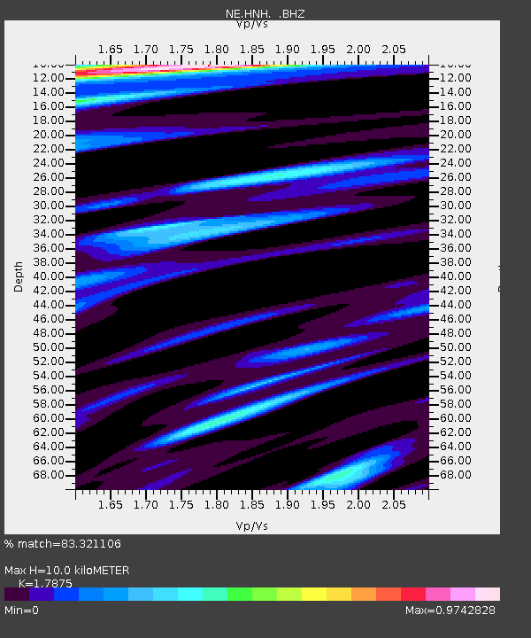
HNH Hanover, NH - Earthquake Result Viewer

Earthquake location: Northern Mid-Atlantic Ridge
Earthquake latitude/longitude: 10.8/-43.4
Earthquake time(UTC): 2011/07/27 (208) 23:00:30 GMT
Earthquake Depth: 10 km
Earthquake Magnitude: 5.6 MB, 5.6 MS, 6.0 MW, 5.9 MW
Earthquake Catalog/Contributor: WHDF/NEIC
Network: NE New England Seismic Network
Station: HNH Hanover, NH
Lat/Lon: 43.71 N/72.29 W
Elevation: 180 m
Distance: 41.2 deg
Az: 327.884 deg
Baz: 133.925 deg
Ray Param: 0.07392096
Estimated Moho Depth: 10.0 km
Estimated Crust Vp/Vs: 1.79
Assumed Crust Vp: 6.419 km/s
Estimated Crust Vs: 3.591 km/s
Estimated Crust Poisson's Ratio: 0.27
Radial Match: 83.321106 %
Radial Bump: 400
Transverse Match: 68.1635 %
Transverse Bump: 400
SOD ConfigId: 405110
Insert Time: 2011-12-29 08:23:19.219 +0000
GWidth: 2.5
Max Bumps: 400
Tol: 0.001

Signal To Noise

ChannelStoNSTALTA
NE:HNH: :BHZ:20110727T23:07:44.450005Z3.2508753.8474366E-71.183508E-7
NE:HNH: :BHN:20110727T23:07:44.450005Z1.10796191.2582298E-71.1356255E-7
NE:HNH: :BHE:20110727T23:07:44.450005Z2.24664622.1497276E-79.5686076E-8
Arrivals
Ps1.3 SECOND
PpPs4.1 SECOND
PsPs/PpSs5.4 SECOND