S39A Bolivar, MO, USA - Earthquake Result Viewer
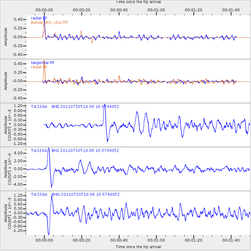
Earthquake location: Near East Coast Of Honshu, Japan
Earthquake latitude/longitude: 36.9/141.0
Earthquake time(UTC): 2011/07/30 (211) 18:53:49 GMT
Earthquake Depth: 30 km
Earthquake Magnitude: 6.4 MB, 6.0 MS, 6.5 MW, 6.4 MW
Earthquake Catalog/Contributor: WHDF/NEIC
Network: TA USArray Transportable Network (new EarthScope stations)
Station: S39A Bolivar, MO, USA
Lat/Lon: 37.69 N/93.32 W
Elevation: 331 m
Distance: 90.4 deg
Az: 40.098 deg
Baz: 319.422 deg
Ray Param: 0.041673824
Estimated Moho Depth: 57.0 km
Estimated Crust Vp/Vs: 1.61
Assumed Crust Vp: 6.53 km/s
Estimated Crust Vs: 4.069 km/s
Estimated Crust Poisson's Ratio: 0.18
Radial Match: 92.5104 %
Radial Bump: 344
Transverse Match: 88.22913 %
Transverse Bump: 400
SOD ConfigId: 408116
Insert Time: 2012-01-01 01:32:24.297 +0000
GWidth: 2.5
Max Bumps: 400
Tol: 0.001

Signal To Noise

ChannelStoNSTALTA
TA:S39A: :BHZ:20110730T19:06:16.674995Z25.952712.7969807E-61.0777221E-7
TA:S39A: :BHN:20110730T19:06:16.674995Z8.1081617.2129234E-78.8958814E-8
TA:S39A: :BHE:20110730T19:06:16.674995Z8.6675956.5714744E-77.581659E-8
Arrivals
Ps5.4 SECOND
PpPs22 SECOND
PsPs/PpSs28 SECOND