KSM Kuching - Earthquake Result Viewer
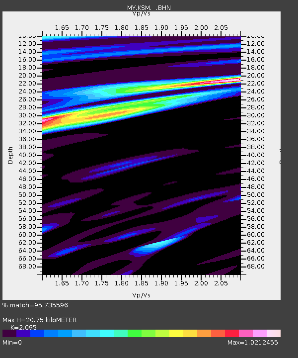
Earthquake location: Near N Coast Of New Guinea, P.N.G.
Earthquake latitude/longitude: -3.5/144.8
Earthquake time(UTC): 2011/07/31 (212) 23:38:56 GMT
Earthquake Depth: 10 km
Earthquake Magnitude: 6.2 MB, 6.6 MS, 6.6 MW, 6.6 MW
Earthquake Catalog/Contributor: WHDF/NEIC
Network: MY Malaysian National Seismic Network
Station: KSM Kuching
Lat/Lon: 1.47 N/110.31 E
Elevation: 66 m
Distance: 34.9 deg
Az: 277.611 deg
Baz: 98.242 deg
Ray Param: 0.0775247
Estimated Moho Depth: 20.75 km
Estimated Crust Vp/Vs: 2.10
Assumed Crust Vp: 6.468 km/s
Estimated Crust Vs: 3.087 km/s
Estimated Crust Poisson's Ratio: 0.35
Radial Match: 95.735596 %
Radial Bump: 400
Transverse Match: 84.60217 %
Transverse Bump: 400
SOD ConfigId: 408116
Insert Time: 2012-01-01 02:16:43.472 +0000
GWidth: 2.5
Max Bumps: 400
Tol: 0.001

Signal To Noise

ChannelStoNSTALTA
MY:KSM: :BHZ:20110731T23:45:17.069991Z12.4967311.2154634E-69.7262514E-8
MY:KSM: :BHN:20110731T23:45:17.069991Z2.55900742.4320508E-79.5038835E-8
MY:KSM: :BHE:20110731T23:45:17.069991Z9.4985846.6736374E-77.025929E-8
Arrivals
Ps3.8 SECOND
PpPs9.3 SECOND
PsPs/PpSs13 SECOND