DRV Dumont d'Urville, Terre Adelie (Antartica) - Earthquake Result Viewer
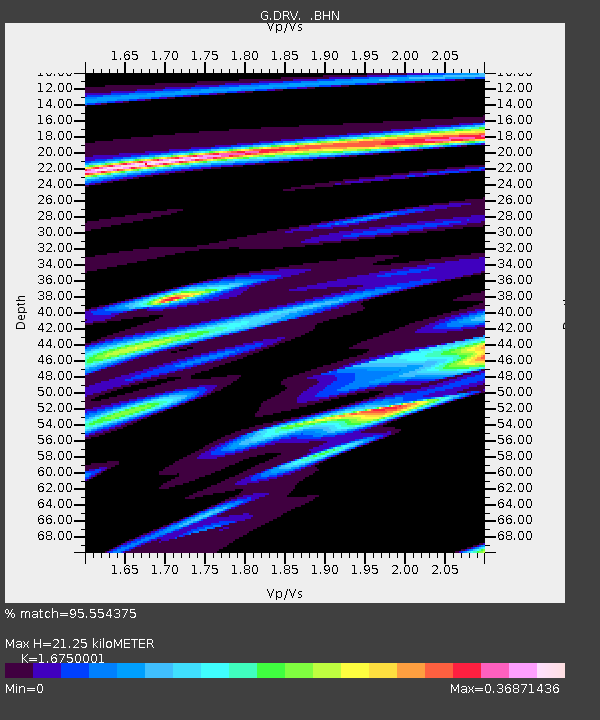
Earthquake location: New Ireland Region, P.N.G.
Earthquake latitude/longitude: -5.4/153.8
Earthquake time(UTC): 1995/08/16 (228) 16:24:26 GMT
Earthquake Depth: 21 km
Earthquake Magnitude: 5.6 MB, 6.8 MS, 6.8 UNKNOWN, 6.6 MW
Earthquake Catalog/Contributor: WHDF/NEIC
Network: G GEOSCOPE
Station: DRV Dumont d'Urville, Terre Adelie (Antartica)
Lat/Lon: 66.67 S/140.01 E
Elevation: 40 m
Distance: 61.9 deg
Az: 186.165 deg
Baz: 15.569 deg
Ray Param: 0.06056646
Estimated Moho Depth: 21.25 km
Estimated Crust Vp/Vs: 1.68
Assumed Crust Vp: 6.39 km/s
Estimated Crust Vs: 3.815 km/s
Estimated Crust Poisson's Ratio: 0.22
Radial Match: 95.554375 %
Radial Bump: 245
Transverse Match: 87.10967 %
Transverse Bump: 400
SOD ConfigId: 4480
Insert Time: 2010-02-26 22:07:45.023 +0000
GWidth: 2.5
Max Bumps: 400
Tol: 0.001

Signal To Noise

ChannelStoNSTALTA
G:DRV: :BHN:19950816T16:34:13.413013Z14.8290237.180852E-64.842431E-7
G:DRV: :BHE:19950816T16:34:13.413013Z17.162063.7574644E-62.1894019E-7
G:DRV: :BHZ:19950816T16:34:13.413013Z2.58633351.209093E-64.674931E-7
Arrivals
Ps2.4 SECOND
PpPs8.5 SECOND
PsPs/PpSs11 SECOND