I02D Swisshome, OR, USA - Earthquake Result Viewer
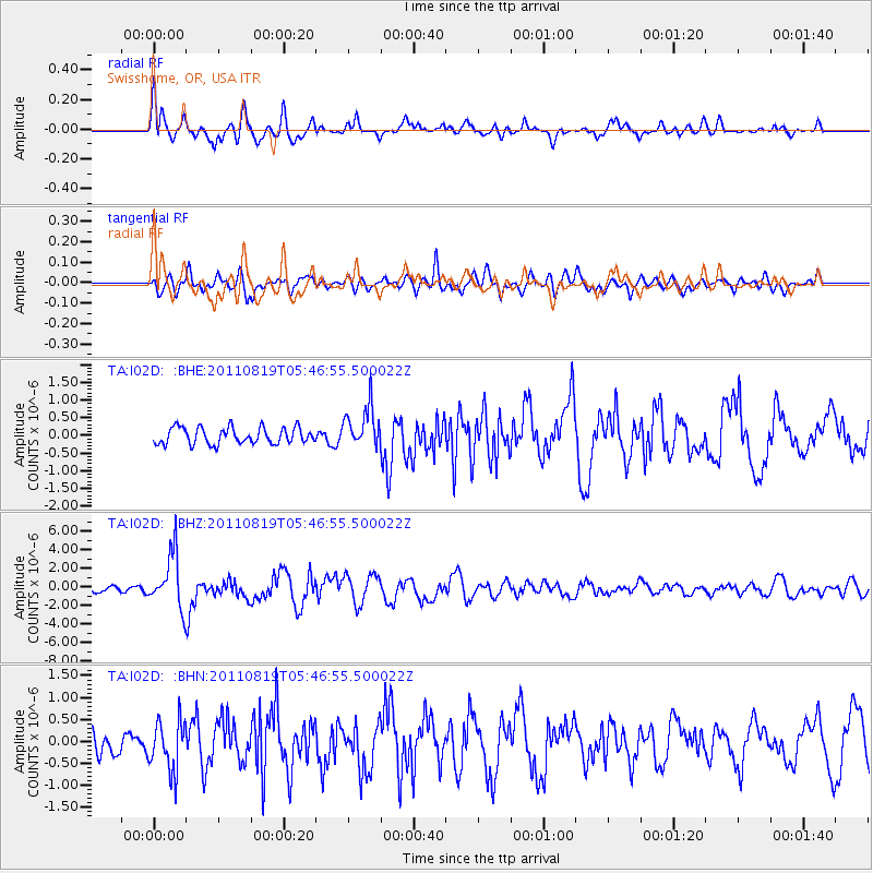
Earthquake location: Near East Coast Of Honshu, Japan
Earthquake latitude/longitude: 37.7/141.7
Earthquake time(UTC): 2011/08/19 (231) 05:36:33 GMT
Earthquake Depth: 47 km
Earthquake Magnitude: 6.3 MB, 5.9 MS, 6.3 MW, 6.3 MW
Earthquake Catalog/Contributor: WHDF/NEIC
Network: TA USArray Transportable Network (new EarthScope stations)
Station: I02D Swisshome, OR, USA
Lat/Lon: 44.11 N/123.85 W
Elevation: 109 m
Distance: 67.8 deg
Az: 50.846 deg
Baz: 301.332 deg
Ray Param: 0.056603156
Estimated Moho Depth: 32.75 km
Estimated Crust Vp/Vs: 1.91
Assumed Crust Vp: 6.566 km/s
Estimated Crust Vs: 3.438 km/s
Estimated Crust Poisson's Ratio: 0.31
Radial Match: 82.905876 %
Radial Bump: 400
Transverse Match: 74.19256 %
Transverse Bump: 400
SOD ConfigId: 410809
Insert Time: 2012-01-06 09:23:06.136 +0000
GWidth: 2.5
Max Bumps: 400
Tol: 0.001

Signal To Noise

ChannelStoNSTALTA
TA:I02D: :BHZ:20110819T05:46:55.500022Z10.2883662.8890404E-62.8080655E-7
TA:I02D: :BHN:20110819T05:46:55.500022Z2.7272575.649643E-72.0715477E-7
TA:I02D: :BHE:20110819T05:46:55.500022Z2.51941235.8205154E-72.3102672E-7
Arrivals
Ps4.7 SECOND
PpPs14 SECOND
PsPs/PpSs19 SECOND