E31A Nome, ND, USA - Earthquake Result Viewer
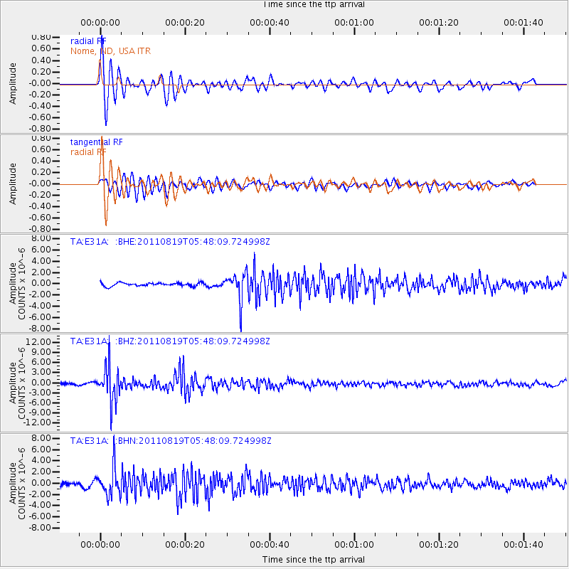
Earthquake location: Near East Coast Of Honshu, Japan
Earthquake latitude/longitude: 37.7/141.7
Earthquake time(UTC): 2011/08/19 (231) 05:36:33 GMT
Earthquake Depth: 47 km
Earthquake Magnitude: 6.3 MB, 5.9 MS, 6.3 MW, 6.3 MW
Earthquake Catalog/Contributor: WHDF/NEIC
Network: TA USArray Transportable Network (new EarthScope stations)
Station: E31A Nome, ND, USA
Lat/Lon: 46.56 N/97.89 W
Elevation: 427 m
Distance: 80.6 deg
Az: 37.075 deg
Baz: 316.112 deg
Ray Param: 0.048069343
Estimated Moho Depth: 14.0 km
Estimated Crust Vp/Vs: 2.10
Assumed Crust Vp: 6.498 km/s
Estimated Crust Vs: 3.098 km/s
Estimated Crust Poisson's Ratio: 0.35
Radial Match: 87.00534 %
Radial Bump: 400
Transverse Match: 72.76653 %
Transverse Bump: 400
SOD ConfigId: 410809
Insert Time: 2012-01-06 09:24:20.250 +0000
GWidth: 2.5
Max Bumps: 400
Tol: 0.001

Signal To Noise

ChannelStoNSTALTA
TA:E31A: :BHZ:20110819T05:48:09.724998Z17.0733245.1538273E-63.018643E-7
TA:E31A: :BHN:20110819T05:48:09.724998Z10.8122252.543759E-62.3526692E-7
TA:E31A: :BHE:20110819T05:48:09.724998Z8.5484562.4111412E-62.8205574E-7
Arrivals
Ps2.4 SECOND
PpPs6.5 SECOND
PsPs/PpSs8.9 SECOND