MLPR Magueyes - Earthquake Result Viewer
Earthquake location: Near Coast Of Northern Chile
Earthquake latitude/longitude: -20.6/-70.7
Earthquake time(UTC): 2014/04/04 (094) 01:37:51 GMT
Earthquake Depth: 20 km
Earthquake Magnitude: 6.1 MWP, 6.1 MWB, 6.1 MWW, 6.3 MWC
Earthquake Catalog/Contributor: NEIC PDE/NEIC COMCAT
Network: PR Puerto Rico Seismic Network (PRSN) & Puerto Rico Strong Motion Program (PRSMP)
Station: MLPR Magueyes
Lat/Lon: 17.97 N/67.04 W
Elevation: 0.0 m
Distance: 38.5 deg
Az: 5.652 deg
Baz: 185.562 deg
Ray Param: 0.075487636
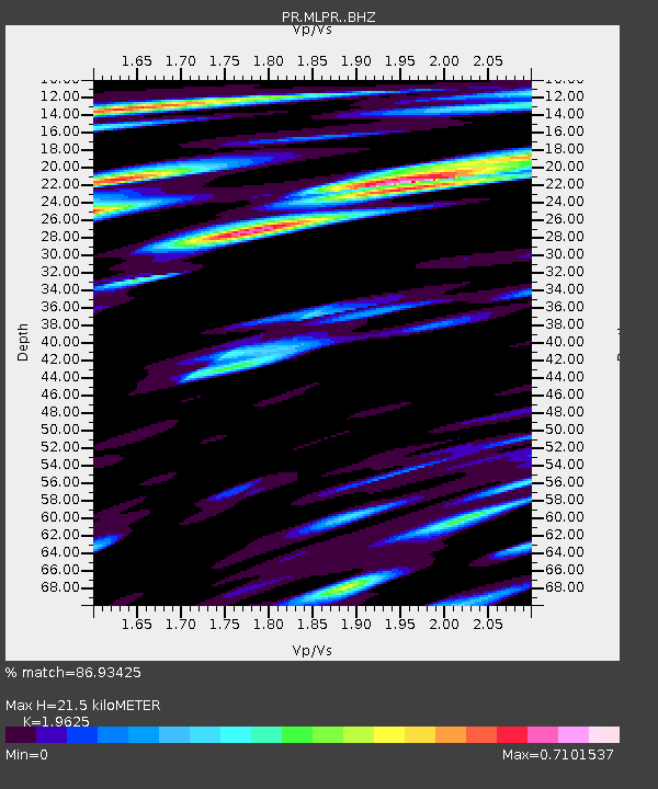
Estimated Moho Depth: 21.5 km
Estimated Crust Vp/Vs: 1.96
Assumed Crust Vp: 4.082 km/s
Estimated Crust Vs: 2.08 km/s
Estimated Crust Poisson's Ratio: 0.32
Radial Match: 86.93425 %
Radial Bump: 382
Transverse Match: 63.011364 %
Transverse Bump: 400
SOD ConfigId: 3390531
Insert Time: 2019-04-11 03:33:10.592 +0000
GWidth: 2.5
Max Bumps: 400
Tol: 0.001

Signal To Noise

ChannelStoNSTALTA
PR:MLPR: :BHZ:20140404T01:44:41.540004Z7.5379753.9828715E-65.283742E-7
PR:MLPR: :BHN:20140404T01:44:41.540004Z4.5559481.494698E-63.2807617E-7
PR:MLPR: :BHE:20140404T01:44:41.540004Z1.85211537.195004E-73.8847497E-7
Arrivals
Ps5.2 SECOND
PpPs15 SECOND
PsPs/PpSs20 SECOND