S39A Bolivar, MO, USA - Earthquake Result Viewer
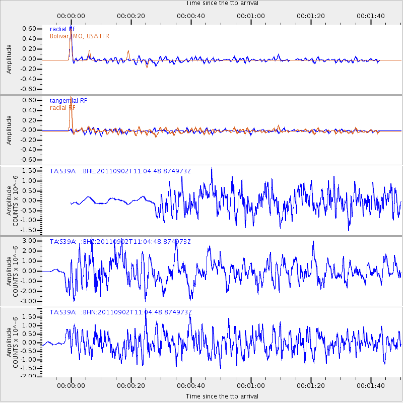
Earthquake location: Fox Islands, Aleutian Islands
Earthquake latitude/longitude: 52.2/-171.7
Earthquake time(UTC): 2011/09/02 (245) 10:55:53 GMT
Earthquake Depth: 32 km
Earthquake Magnitude: 6.5 MB, 6.9 MS, 6.8 MW, 6.8 MW
Earthquake Catalog/Contributor: WHDF/NEIC
Network: TA USArray Transportable Network (new EarthScope stations)
Station: S39A Bolivar, MO, USA
Lat/Lon: 37.69 N/93.32 W
Elevation: 331 m
Distance: 54.7 deg
Az: 72.223 deg
Baz: 312.33 deg
Ray Param: 0.06523373
Estimated Moho Depth: 60.5 km
Estimated Crust Vp/Vs: 1.60
Assumed Crust Vp: 6.53 km/s
Estimated Crust Vs: 4.082 km/s
Estimated Crust Poisson's Ratio: 0.18
Radial Match: 92.654495 %
Radial Bump: 400
Transverse Match: 75.38604 %
Transverse Bump: 400
SOD ConfigId: 414626
Insert Time: 2012-01-18 07:33:06.739 +0000
GWidth: 2.5
Max Bumps: 400
Tol: 0.001

Signal To Noise

ChannelStoNSTALTA
TA:S39A: :BHZ:20110902T11:04:48.874973Z12.5417821.5164097E-61.2090862E-7
TA:S39A: :BHN:20110902T11:04:48.874973Z9.055945.804814E-76.4099524E-8
TA:S39A: :BHE:20110902T11:04:48.874973Z4.9161255.742777E-71.16815116E-7
Arrivals
Ps5.9 SECOND
PpPs23 SECOND
PsPs/PpSs29 SECOND