T39A Clever, MO, USA - Earthquake Result Viewer
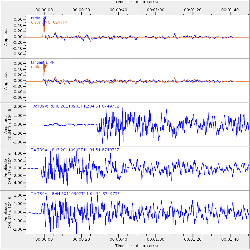
Earthquake location: Fox Islands, Aleutian Islands
Earthquake latitude/longitude: 52.2/-171.7
Earthquake time(UTC): 2011/09/02 (245) 10:55:53 GMT
Earthquake Depth: 32 km
Earthquake Magnitude: 6.5 MB, 6.9 MS, 6.8 MW, 6.8 MW
Earthquake Catalog/Contributor: WHDF/NEIC
Network: TA USArray Transportable Network (new EarthScope stations)
Station: T39A Clever, MO, USA
Lat/Lon: 37.02 N/93.38 W
Elevation: 366 m
Distance: 55.1 deg
Az: 72.859 deg
Baz: 312.663 deg
Ray Param: 0.064954944
Estimated Moho Depth: 45.25 km
Estimated Crust Vp/Vs: 1.85
Assumed Crust Vp: 6.53 km/s
Estimated Crust Vs: 3.525 km/s
Estimated Crust Poisson's Ratio: 0.29
Radial Match: 93.38858 %
Radial Bump: 400
Transverse Match: 81.73892 %
Transverse Bump: 400
SOD ConfigId: 414626
Insert Time: 2012-01-18 07:33:43.627 +0000
GWidth: 2.5
Max Bumps: 400
Tol: 0.001

Signal To Noise

ChannelStoNSTALTA
TA:T39A: :BHZ:20110902T11:04:51.874973Z29.9334242.247986E-67.509953E-8
TA:T39A: :BHN:20110902T11:04:51.874973Z12.9243251.0224176E-67.9108005E-8
TA:T39A: :BHE:20110902T11:04:51.874973Z12.9432148.937733E-76.905342E-8
Arrivals
Ps6.2 SECOND
PpPs19 SECOND
PsPs/PpSs25 SECOND