H41A Junction City, WI, USA - Earthquake Result Viewer
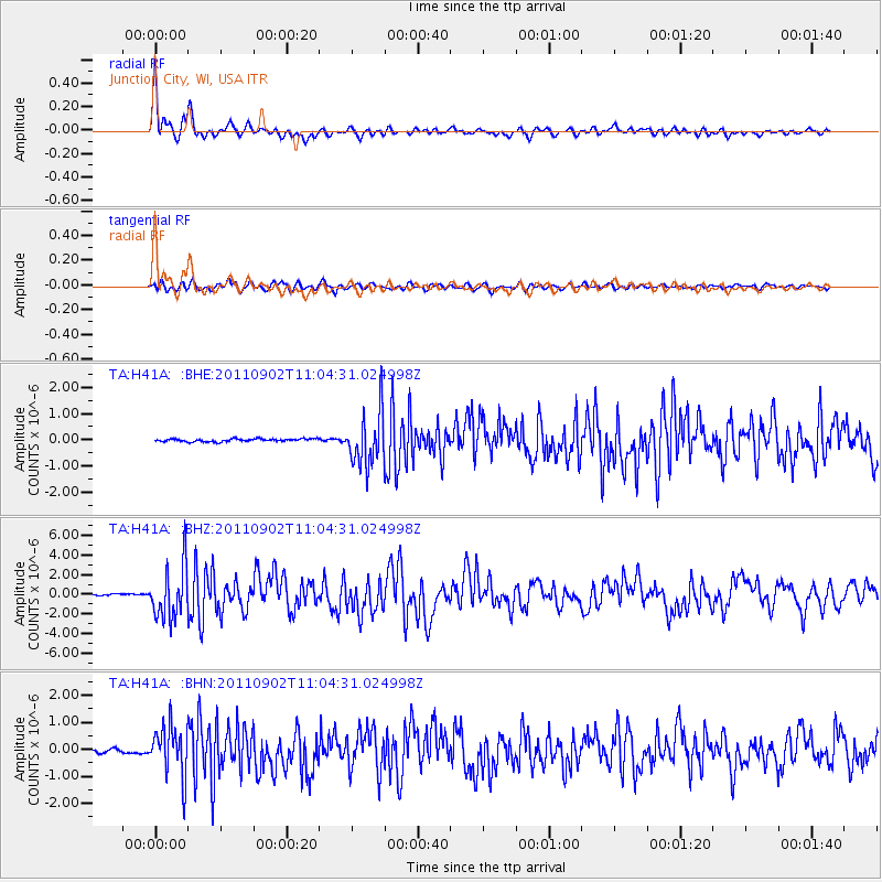
Earthquake location: Fox Islands, Aleutian Islands
Earthquake latitude/longitude: 52.2/-171.7
Earthquake time(UTC): 2011/09/02 (245) 10:55:53 GMT
Earthquake Depth: 32 km
Earthquake Magnitude: 6.5 MB, 6.9 MS, 6.8 MW, 6.8 MW
Earthquake Catalog/Contributor: WHDF/NEIC
Network: TA USArray Transportable Network (new EarthScope stations)
Station: H41A Junction City, WI, USA
Lat/Lon: 44.62 N/89.65 W
Elevation: 348 m
Distance: 52.2 deg
Az: 63.458 deg
Baz: 309.514 deg
Ray Param: 0.06682382
Estimated Moho Depth: 31.5 km
Estimated Crust Vp/Vs: 2.03
Assumed Crust Vp: 6.41 km/s
Estimated Crust Vs: 3.154 km/s
Estimated Crust Poisson's Ratio: 0.34
Radial Match: 93.74428 %
Radial Bump: 400
Transverse Match: 88.12638 %
Transverse Bump: 400
SOD ConfigId: 414626
Insert Time: 2012-01-18 07:48:04.108 +0000
GWidth: 2.5
Max Bumps: 400
Tol: 0.001

Signal To Noise

ChannelStoNSTALTA
TA:H41A: :BHZ:20110902T11:04:31.024998Z31.4580942.6808086E-68.52184E-8
TA:H41A: :BHN:20110902T11:04:31.024998Z13.663819.2002625E-76.733307E-8
TA:H41A: :BHE:20110902T11:04:31.024998Z18.755151.0115319E-65.3933558E-8
Arrivals
Ps5.3 SECOND
PpPs14 SECOND
PsPs/PpSs20 SECOND