G41A Antigo, WI, USA - Earthquake Result Viewer
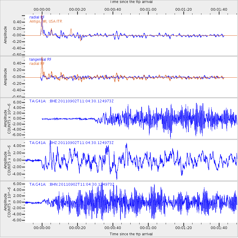
Earthquake location: Fox Islands, Aleutian Islands
Earthquake latitude/longitude: 52.2/-171.7
Earthquake time(UTC): 2011/09/02 (245) 10:55:53 GMT
Earthquake Depth: 32 km
Earthquake Magnitude: 6.5 MB, 6.9 MS, 6.8 MW, 6.8 MW
Earthquake Catalog/Contributor: WHDF/NEIC
Network: TA USArray Transportable Network (new EarthScope stations)
Station: G41A Antigo, WI, USA
Lat/Lon: 45.21 N/89.18 W
Elevation: 464 m
Distance: 52.1 deg
Az: 62.606 deg
Baz: 309.324 deg
Ray Param: 0.066899925
Estimated Moho Depth: 69.0 km
Estimated Crust Vp/Vs: 1.96
Assumed Crust Vp: 6.41 km/s
Estimated Crust Vs: 3.266 km/s
Estimated Crust Poisson's Ratio: 0.32
Radial Match: 91.01376 %
Radial Bump: 400
Transverse Match: 75.71109 %
Transverse Bump: 400
SOD ConfigId: 414626
Insert Time: 2012-01-18 07:49:12.322 +0000
GWidth: 2.5
Max Bumps: 400
Tol: 0.001

Signal To Noise

ChannelStoNSTALTA
TA:G41A: :BHZ:20110902T11:04:30.124973Z17.359562.0092323E-61.15742125E-7
TA:G41A: :BHN:20110902T11:04:30.124973Z5.05516435.3413163E-71.0566058E-7
TA:G41A: :BHE:20110902T11:04:30.124973Z8.4021318.5662543E-71.01953354E-7
Arrivals
Ps11 SECOND
PpPs30 SECOND
PsPs/PpSs41 SECOND