
LON Longmire (broad-band and DWWSSN) - Earthquake Result Viewer

| ||||||||||||||||||
| ||||||||||||||||||
| ||||||||||||||||||
|
Signal To Noise
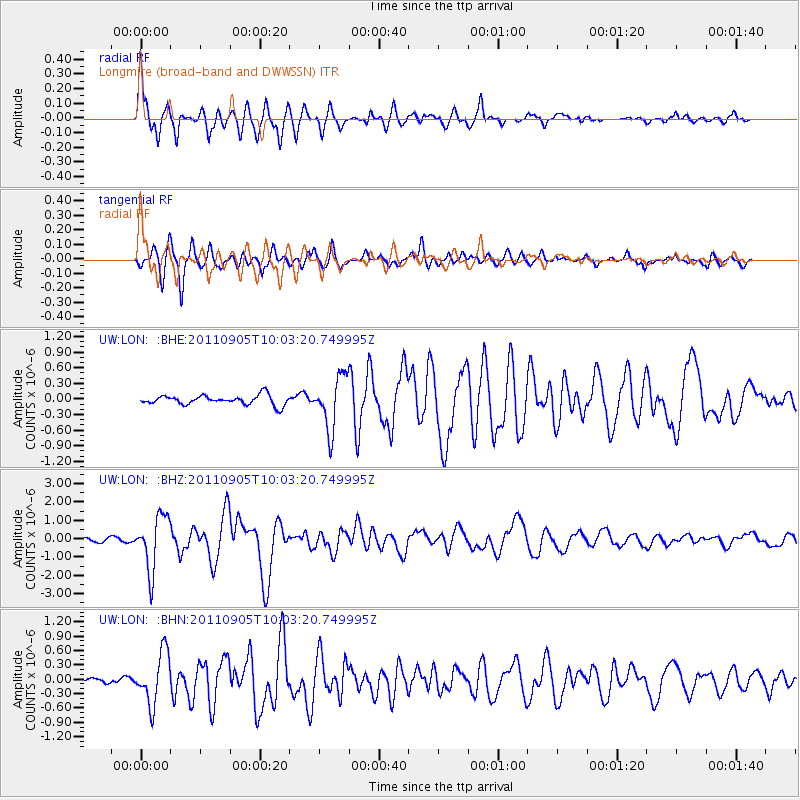
| Channel | StoN | STA | LTA |
| UW:LON: :BHZ:20110905T10:03:20.749995Z | 13.161975 | 1.4786608E-6 | 1.1234338E-7 |
| UW:LON: :BHN:20110905T10:03:20.749995Z | 12.512498 | 5.362411E-7 | 4.2856435E-8 |
| UW:LON: :BHE:20110905T10:03:20.749995Z | 5.525162 | 5.0716204E-7 | 9.179134E-8 |
| Arrivals | |
| Ps | 4.4 SECOND |
| PpPs | 15 SECOND |
| PsPs/PpSs | 20 SECOND |

