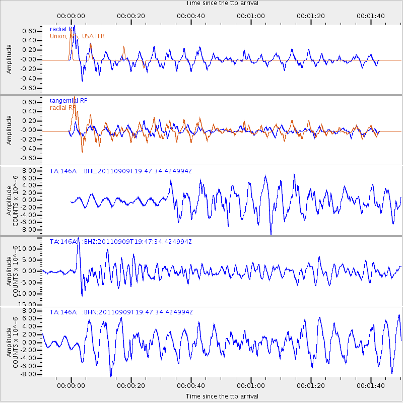
146A Union, MS, USA - Earthquake Result Viewer

Earthquake location: Vancouver Island, Canada Region
Earthquake latitude/longitude: 49.5/-126.9
Earthquake time(UTC): 2011/09/09 (252) 19:41:34 GMT
Earthquake Depth: 22 km
Earthquake Magnitude: 6.3 MB, 6.4 MS, 6.4 MW, 6.5 MW
Earthquake Catalog/Contributor: WHDF/NEIC
Network: TA USArray Transportable Network (new EarthScope stations)
Station: 146A Union, MS, USA
Lat/Lon: 32.64 N/89.06 W
Elevation: 164 m
Distance: 32.7 deg
Az: 106.758 deg
Baz: 312.323 deg
Ray Param: 0.07850834
Estimated Moho Depth: 15.75 km
Estimated Crust Vp/Vs: 1.76
Assumed Crust Vp: 6.201 km/s
Estimated Crust Vs: 3.529 km/s
Estimated Crust Poisson's Ratio: 0.26
Radial Match: 82.97092 %
Radial Bump: 339
Transverse Match: 80.45356 %
Transverse Bump: 400
SOD ConfigId: 414626
Insert Time: 2012-01-20 12:58:29.536 +0000
GWidth: 2.5
Max Bumps: 400
Tol: 0.001

Signal To Noise

ChannelStoNSTALTA
TA:146A: :BHZ:20110909T19:47:34.424994Z13.5563946.3615644E-64.692667E-7
TA:146A: :BHN:20110909T19:47:34.424994Z1.72936312.1562971E-61.2468736E-6
TA:146A: :BHE:20110909T19:47:34.424994Z2.51624822.09738E-68.335346E-7
Arrivals
Ps2.1 SECOND
PpPs6.5 SECOND
PsPs/PpSs8.6 SECOND