M39A Webster, IA, USA - Earthquake Result Viewer
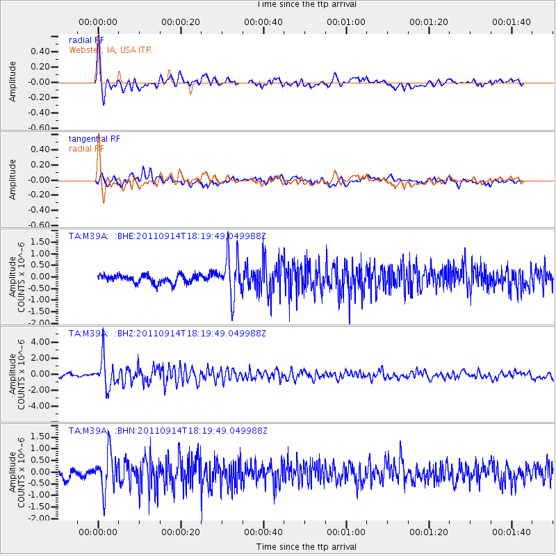
Earthquake location: Near Islands, Aleutian Islands
Earthquake latitude/longitude: 53.1/173.0
Earthquake time(UTC): 2011/09/14 (257) 18:10:09 GMT
Earthquake Depth: 15 km
Earthquake Magnitude: 6.1 MB, 5.7 MS, 6.0 MW, 6.0 MW
Earthquake Catalog/Contributor: WHDF/NEIC
Network: TA USArray Transportable Network (new EarthScope stations)
Station: M39A Webster, IA, USA
Lat/Lon: 41.48 N/92.17 W
Elevation: 264 m
Distance: 60.8 deg
Az: 59.081 deg
Baz: 316.501 deg
Ray Param: 0.06129567
Estimated Moho Depth: 44.0 km
Estimated Crust Vp/Vs: 2.07
Assumed Crust Vp: 6.498 km/s
Estimated Crust Vs: 3.143 km/s
Estimated Crust Poisson's Ratio: 0.35
Radial Match: 86.85647 %
Radial Bump: 400
Transverse Match: 55.27717 %
Transverse Bump: 400
SOD ConfigId: 414626
Insert Time: 2012-01-23 11:00:16.015 +0000
GWidth: 2.5
Max Bumps: 400
Tol: 0.001

Signal To Noise

ChannelStoNSTALTA
TA:M39A: :BHZ:20110914T18:19:49.049988Z12.49445151.8645068E-61.4922678E-7
TA:M39A: :BHN:20110914T18:19:49.049988Z5.0300618.2964704E-71.6493777E-7
TA:M39A: :BHE:20110914T18:19:49.049988Z5.1224878.885594E-71.734625E-7
Arrivals
Ps7.5 SECOND
PpPs20 SECOND
PsPs/PpSs27 SECOND