
K32A Verdigre, NE, USA - Earthquake Result Viewer

| ||||||||||||||||||
| ||||||||||||||||||
| ||||||||||||||||||
|
Signal To Noise
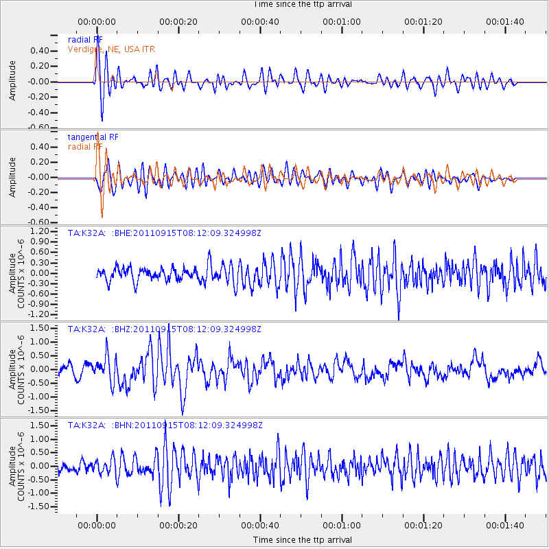
| Channel | StoN | STA | LTA |
| TA:K32A: :BHZ:20110915T08:12:09.324998Z | 2.033252 | 4.5971544E-7 | 2.260986E-7 |
| TA:K32A: :BHN:20110915T08:12:09.324998Z | 1.7097656 | 2.7048424E-7 | 1.581996E-7 |
| TA:K32A: :BHE:20110915T08:12:09.324998Z | 1.6818728 | 2.7742382E-7 | 1.6494934E-7 |
| Arrivals | |
| Ps | 2.4 SECOND |
| PpPs | 9.2 SECOND |
| PsPs/PpSs | 12 SECOND |

