S37A Fort Scott, KS, USA - Earthquake Result Viewer
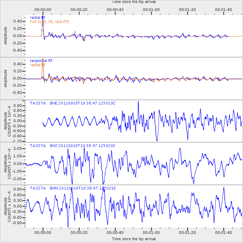
Earthquake location: Near East Coast Of Honshu, Japan
Earthquake latitude/longitude: 40.3/142.8
Earthquake time(UTC): 2011/09/16 (259) 19:26:40 GMT
Earthquake Depth: 35 km
Earthquake Magnitude: 6.0 MB, 6.5 MS, 6.7 MW, 6.7 MW
Earthquake Catalog/Contributor: WHDF/NEIC
Network: TA USArray Transportable Network (new EarthScope stations)
Station: S37A Fort Scott, KS, USA
Lat/Lon: 37.76 N/94.83 W
Elevation: 260 m
Distance: 86.1 deg
Az: 42.128 deg
Baz: 319.642 deg
Ray Param: 0.044235203
Estimated Moho Depth: 43.0 km
Estimated Crust Vp/Vs: 1.75
Assumed Crust Vp: 6.53 km/s
Estimated Crust Vs: 3.737 km/s
Estimated Crust Poisson's Ratio: 0.26
Radial Match: 86.496056 %
Radial Bump: 353
Transverse Match: 72.218796 %
Transverse Bump: 400
SOD ConfigId: 414626
Insert Time: 2012-01-23 13:56:52.059 +0000
GWidth: 2.5
Max Bumps: 400
Tol: 0.001

Signal To Noise

ChannelStoNSTALTA
TA:S37A: :BHZ:20110916T19:38:47.125029Z2.6164333.9087917E-71.4939393E-7
TA:S37A: :BHN:20110916T19:38:47.125029Z1.28901862.92995E-72.2730083E-7
TA:S37A: :BHE:20110916T19:38:47.125029Z0.715148871.2852072E-71.7971186E-7
Arrivals
Ps5.0 SECOND
PpPs18 SECOND
PsPs/PpSs23 SECOND