H31A Wolsey, SD, USA - Earthquake Result Viewer
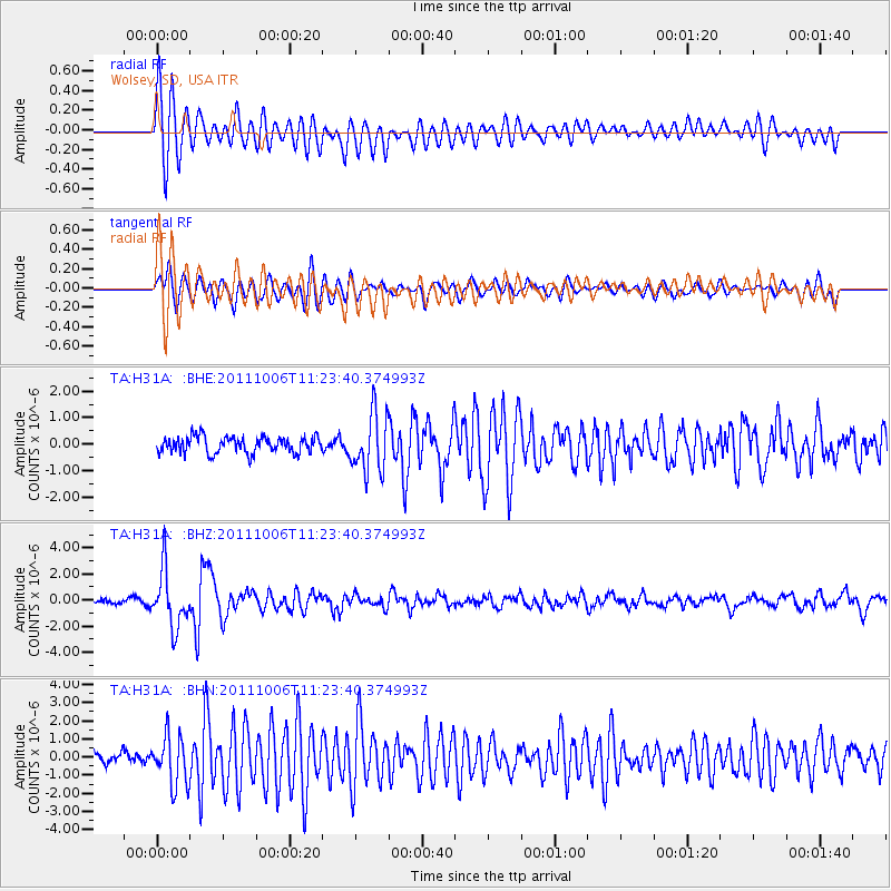
Earthquake location: Salta Province, Argentina
Earthquake latitude/longitude: -24.2/-64.2
Earthquake time(UTC): 2011/10/06 (279) 11:12:30 GMT
Earthquake Depth: 15 km
Earthquake Magnitude: 6.5 MB, 5.7 MS, 6.1 MW, 5.9 MW
Earthquake Catalog/Contributor: WHDF/NEIC
Network: TA USArray Transportable Network (new EarthScope stations)
Station: H31A Wolsey, SD, USA
Lat/Lon: 44.48 N/98.48 W
Elevation: 415 m
Distance: 75.2 deg
Az: 335.364 deg
Baz: 147.87 deg
Ray Param: 0.051838506
Estimated Moho Depth: 22.25 km
Estimated Crust Vp/Vs: 1.68
Assumed Crust Vp: 6.53 km/s
Estimated Crust Vs: 3.899 km/s
Estimated Crust Poisson's Ratio: 0.22
Radial Match: 86.12215 %
Radial Bump: 400
Transverse Match: 71.19462 %
Transverse Bump: 400
SOD ConfigId: 424168
Insert Time: 2012-02-04 05:45:39.147 +0000
GWidth: 2.5
Max Bumps: 400
Tol: 0.001

Signal To Noise

ChannelStoNSTALTA
TA:H31A: :BHZ:20111006T11:23:40.374993Z7.82646132.157195E-62.756284E-7
TA:H31A: :BHN:20111006T11:23:40.374993Z4.04227921.3597294E-63.363769E-7
TA:H31A: :BHE:20111006T11:23:40.374993Z3.6060811.0992622E-63.048357E-7
Arrivals
Ps2.4 SECOND
PpPs8.8 SECOND
PsPs/PpSs11 SECOND