Y41A Eaglette Bearden, AR, USA - Earthquake Result Viewer
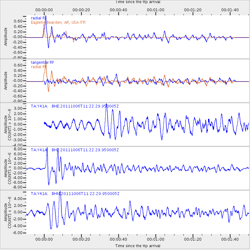
Earthquake location: Salta Province, Argentina
Earthquake latitude/longitude: -24.2/-64.2
Earthquake time(UTC): 2011/10/06 (279) 11:12:30 GMT
Earthquake Depth: 15 km
Earthquake Magnitude: 6.5 MB, 5.7 MS, 6.1 MW, 5.9 MW
Earthquake Catalog/Contributor: WHDF/NEIC
Network: TA USArray Transportable Network (new EarthScope stations)
Station: Y41A Eaglette Bearden, AR, USA
Lat/Lon: 33.88 N/92.61 W
Elevation: 99 m
Distance: 63.7 deg
Az: 333.826 deg
Baz: 151.037 deg
Ray Param: 0.05936819
Estimated Moho Depth: 12.0 km
Estimated Crust Vp/Vs: 1.60
Assumed Crust Vp: 6.245 km/s
Estimated Crust Vs: 3.903 km/s
Estimated Crust Poisson's Ratio: 0.18
Radial Match: 86.50768 %
Radial Bump: 320
Transverse Match: 72.76811 %
Transverse Bump: 344
SOD ConfigId: 424168
Insert Time: 2012-02-04 06:09:05.738 +0000
GWidth: 2.5
Max Bumps: 400
Tol: 0.001

Signal To Noise

ChannelStoNSTALTA
TA:Y41A: :BHZ:20111006T11:22:29.950005Z18.9677963.566888E-61.8804968E-7
TA:Y41A: :BHN:20111006T11:22:29.950005Z4.8359942.1669755E-64.4809315E-7
TA:Y41A: :BHE:20111006T11:22:29.950005Z3.44054321.7600232E-65.115539E-7
Arrivals
Ps1.2 SECOND
PpPs4.8 SECOND
PsPs/PpSs6.0 SECOND