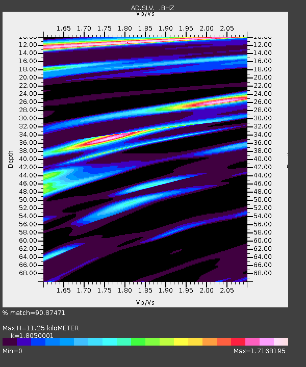
SLV Son La Vietnam - Earthquake Result Viewer

Earthquake location: South Of Bali, Indonesia
Earthquake latitude/longitude: -9.4/114.6
Earthquake time(UTC): 2011/10/13 (286) 03:16:30 GMT
Earthquake Depth: 39 km
Earthquake Magnitude: 6.1 MB, 6.0 MS, 6.2 MW, 6.1 MW
Earthquake Catalog/Contributor: WHDF/NEIC
Network: AD Asian Disaster Preparedness Center- Early Warning Center
Station: SLV Son La Vietnam
Lat/Lon: 21.33 N/103.90 E
Elevation: 50 m
Distance: 32.2 deg
Az: 341.103 deg
Baz: 159.95 deg
Ray Param: 0.078666
Estimated Moho Depth: 11.25 km
Estimated Crust Vp/Vs: 1.81
Assumed Crust Vp: 6.35 km/s
Estimated Crust Vs: 3.518 km/s
Estimated Crust Poisson's Ratio: 0.28
Radial Match: 90.87471 %
Radial Bump: 400
Transverse Match: 79.23142 %
Transverse Bump: 400
SOD ConfigId: 424168
Insert Time: 2012-02-08 02:05:01.015 +0000
GWidth: 2.5
Max Bumps: 400
Tol: 0.001

Signal To Noise

ChannelStoNSTALTA
AD:SLV: :BHZ:20111013T03:22:24.67001Z6.5254842.7250817E-74.1760604E-8
AD:SLV: :BHN:20111013T03:22:24.67001Z4.08947131.5500851E-73.7904293E-8
AD:SLV: :BHE:20111013T03:22:24.67001Z2.2709499.053667E-83.9867334E-8
Arrivals
Ps1.5 SECOND
PpPs4.6 SECOND
PsPs/PpSs6.1 SECOND