FDF Fort de France, Martinique France - Earthquake Result Viewer
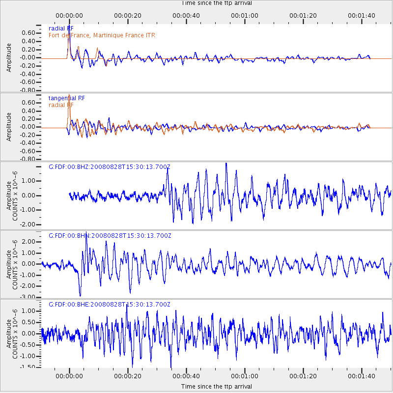
Earthquake location: North Of Ascension Island
Earthquake latitude/longitude: -0.2/-17.4
Earthquake time(UTC): 2008/08/28 (241) 15:22:23 GMT
Earthquake Depth: 15 km
Earthquake Magnitude: 5.8 MB, 5.9 MS, 6.3 MW, 6.3 MW
Earthquake Catalog/Contributor: WHDF/NEIC
Network: G GEOSCOPE
Station: FDF Fort de France, Martinique France
Lat/Lon: 14.73 N/61.14 W
Elevation: 467 m
Distance: 45.8 deg
Az: 290.907 deg
Baz: 105.094 deg
Ray Param: 0.07103835
Estimated Moho Depth: 47.75 km
Estimated Crust Vp/Vs: 1.65
Assumed Crust Vp: 5.88 km/s
Estimated Crust Vs: 3.564 km/s
Estimated Crust Poisson's Ratio: 0.21
Radial Match: 89.75081 %
Radial Bump: 400
Transverse Match: 87.60454 %
Transverse Bump: 400
SOD ConfigId: 2504
Insert Time: 2010-02-26 22:33:12.422 +0000
GWidth: 2.5
Max Bumps: 400
Tol: 0.001

Signal To Noise

ChannelStoNSTALTA
G:FDF:00:BHN:20080828T15:30:13.700Z6.23442131.0203986E-61.6367174E-7
G:FDF:00:BHE:20080828T15:30:13.700Z1.58146752.9414096E-71.8599242E-7
G:FDF:00:BHZ:20080828T15:30:13.700Z3.47123126.254996E-71.8019531E-7
Arrivals
Ps5.6 SECOND
PpPs20 SECOND
PsPs/PpSs26 SECOND