SSLB SUANG-LONG - Earthquake Result Viewer
Earthquake location: Kermadec Islands Region
Earthquake latitude/longitude: -29.0/-176.2
Earthquake time(UTC): 2011/10/21 (294) 17:57:16 GMT
Earthquake Depth: 33 km
Earthquake Magnitude: 6.4 MB, 7.5 MS, 7.4 MW, 7.4 MW
Earthquake Catalog/Contributor: WHDF/NEIC
Network: TW Broadband Array in Taiwan for Seismology
Station: SSLB SUANG-LONG
Lat/Lon: 23.79 N/120.95 E
Elevation: 450 m
Distance: 80.0 deg
Az: 304.175 deg
Baz: 127.702 deg
Ray Param: 0.04851775
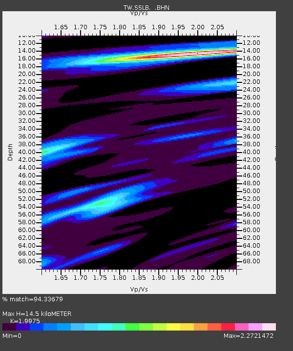
Estimated Moho Depth: 14.5 km
Estimated Crust Vp/Vs: 2.00
Assumed Crust Vp: 6.461 km/s
Estimated Crust Vs: 3.235 km/s
Estimated Crust Poisson's Ratio: 0.33
Radial Match: 94.33679 %
Radial Bump: 400
Transverse Match: 74.30985 %
Transverse Bump: 400
SOD ConfigId: 424168
Insert Time: 2012-02-10 02:37:54.063 +0000
GWidth: 2.5
Max Bumps: 400
Tol: 0.001

Signal To Noise

ChannelStoNSTALTA
TW:SSLB: :BHZ:20111021T18:08:51.12002Z17.750313.283723E-61.8499523E-7
TW:SSLB: :BHN:20111021T18:08:51.12002Z4.15184166.7503095E-71.6258589E-7
TW:SSLB: :BHE:20111021T18:08:51.12002Z6.94081459.056297E-71.3047888E-7
Arrivals
Ps2.3 SECOND
PpPs6.6 SECOND
PsPs/PpSs8.9 SECOND