NEE2 Needles Airport - Earthquake Result Viewer
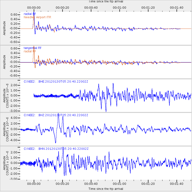
Earthquake location: Near Coast Of Peru
Earthquake latitude/longitude: -14.2/-75.6
Earthquake time(UTC): 2012/01/30 (030) 05:11:00 GMT
Earthquake Depth: 43 km
Earthquake Magnitude: 6.3 MB, 5.9 MS, 6.4 MW, 6.4 MW
Earthquake Catalog/Contributor: WHDF/NEIC
Network: CI Caltech Regional Seismic Network
Station: NEE2 Needles Airport
Lat/Lon: 34.77 N/114.62 W
Elevation: 271 m
Distance: 61.1 deg
Az: 323.747 deg
Baz: 135.834 deg
Ray Param: 0.060978837
Estimated Moho Depth: 21.5 km
Estimated Crust Vp/Vs: 1.90
Assumed Crust Vp: 6.276 km/s
Estimated Crust Vs: 3.307 km/s
Estimated Crust Poisson's Ratio: 0.31
Radial Match: 94.16227 %
Radial Bump: 400
Transverse Match: 82.69458 %
Transverse Bump: 400
SOD ConfigId: 436445
Insert Time: 2012-04-11 04:43:32.419 +0000
GWidth: 2.5
Max Bumps: 400
Tol: 0.001

Signal To Noise

ChannelStoNSTALTA
CI:NEE2: :BHZ:20120130T05:20:40.22002Z5.69686138.450098E-71.4832901E-7
CI:NEE2: :BHN:20120130T05:20:40.22002Z2.24491244.5680804E-72.0348591E-7
CI:NEE2: :BHE:20120130T05:20:40.22002Z2.73106314.2516396E-71.556771E-7
Arrivals
Ps3.2 SECOND
PpPs9.5 SECOND
PsPs/PpSs13 SECOND