INU Inuyama, Japan - Earthquake Result Viewer
Earthquake location: Southern Sumatra, Indonesia
Earthquake latitude/longitude: -4.7/102.1
Earthquake time(UTC): 2000/06/04 (156) 16:28:26 GMT
Earthquake Depth: 33 km
Earthquake Magnitude: 6.8 MB, 8.0 MS, 7.9 MW, 7.7 MW
Earthquake Catalog/Contributor: WHDF/NEIC
Network: G GEOSCOPE
Station: INU Inuyama, Japan
Lat/Lon: 35.35 N/137.03 E
Elevation: 132 m
Distance: 51.6 deg
Az: 36.669 deg
Baz: 226.728 deg
Ray Param: 0.06722671
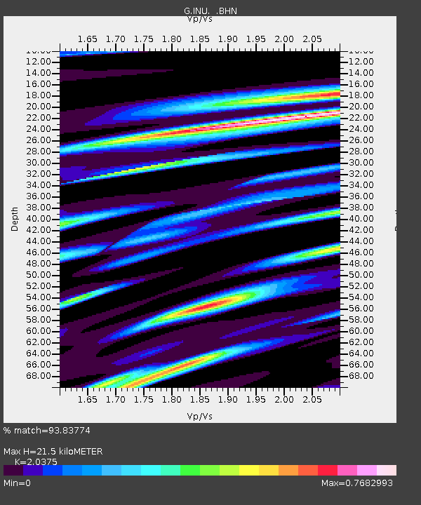
Estimated Moho Depth: 21.5 km
Estimated Crust Vp/Vs: 2.04
Assumed Crust Vp: 6.461 km/s
Estimated Crust Vs: 3.171 km/s
Estimated Crust Poisson's Ratio: 0.34
Radial Match: 93.83774 %
Radial Bump: 382
Transverse Match: 74.370605 %
Transverse Bump: 400
SOD ConfigId: 3744
Insert Time: 2010-02-26 23:19:32.595 +0000
GWidth: 2.5
Max Bumps: 400
Tol: 0.001

Signal To Noise

ChannelStoNSTALTA
G:INU: :BHN:20000604T16:36:58.899004Z2.75478325.7695124E-62.094362E-6
G:INU: :BHE:20000604T16:36:58.899004Z2.47397527.647101E-63.0910173E-6
G:INU: :BHZ:20000604T16:36:58.899004Z2.3898161.7315258E-57.2454363E-6
Arrivals
Ps3.6 SECOND
PpPs9.6 SECOND
PsPs/PpSs13 SECOND