PFVI PM.PFVI - Earthquake Result Viewer
Earthquake location: Michoacan, Mexico
Earthquake latitude/longitude: 18.2/-102.7
Earthquake time(UTC): 2012/04/11 (102) 22:55:10 GMT
Earthquake Depth: 20 km
Earthquake Magnitude: 5.8 MB, 6.7 MS, 6.5 MW, 6.7 MW
Earthquake Catalog/Contributor: WHDF/NEIC
Network: PM Portuguese National Seismic Network
Station: PFVI PM.PFVI
Lat/Lon: 37.13 N/8.83 W
Elevation: 189 m
Distance: 82.2 deg
Az: 53.593 deg
Baz: 286.837 deg
Ray Param: 0.047035072
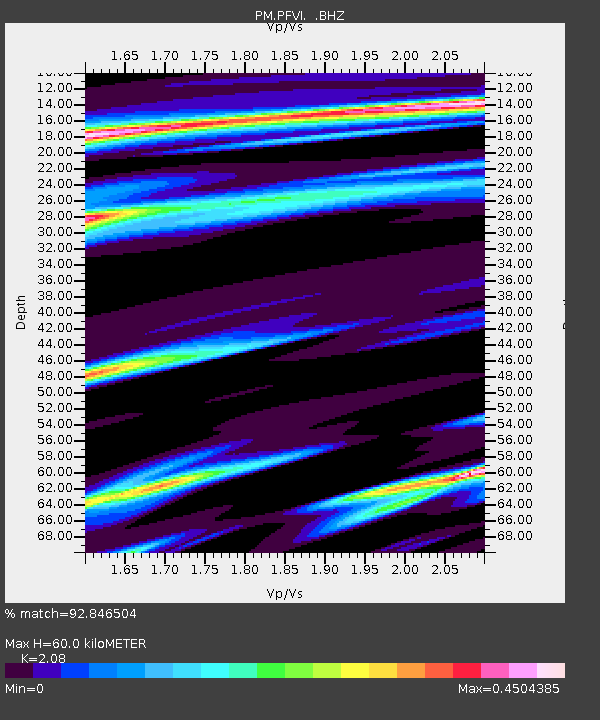
Estimated Moho Depth: 60.0 km
Estimated Crust Vp/Vs: 2.08
Assumed Crust Vp: 6.048 km/s
Estimated Crust Vs: 2.908 km/s
Estimated Crust Poisson's Ratio: 0.35
Radial Match: 92.846504 %
Radial Bump: 364
Transverse Match: 87.648544 %
Transverse Bump: 293
SOD ConfigId: 446234
Insert Time: 2012-07-04 11:02:06.407 +0000
GWidth: 2.5
Max Bumps: 400
Tol: 0.001

Signal To Noise

ChannelStoNSTALTA
PM:PFVI: :BHZ:20120411T23:06:58.405029Z10.44383053.4230231E-63.2775552E-7
PM:PFVI: :BHN:20120411T23:06:58.39502Z1.01415792.7899034E-72.7509557E-7
PM:PFVI: :BHE:20120411T23:06:58.405029Z4.28678131.1592656E-62.70428E-7
Arrivals
Ps11 SECOND
PpPs30 SECOND
PsPs/PpSs41 SECOND