NOUC Port Laguerre, New Caledonia - Earthquake Result Viewer
Earthquake location: Irian Jaya Region, Indonesia
Earthquake latitude/longitude: -0.6/135.9
Earthquake time(UTC): 1996/02/17 (048) 14:21:23 GMT
Earthquake Depth: 33 km
Earthquake Magnitude: 5.8 MB, 6.7 MS, 6.7 UNKNOWN, 6.4 MW
Earthquake Catalog/Contributor: WHDF/NEIC
Network: G GEOSCOPE
Station: NOUC Port Laguerre, New Caledonia
Lat/Lon: 22.10 S/166.30 E
Elevation: 112 m
Distance: 36.5 deg
Az: 127.916 deg
Baz: 301.72 deg
Ray Param: 0.076564044
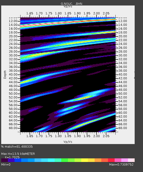
Estimated Moho Depth: 13.5 km
Estimated Crust Vp/Vs: 1.70
Assumed Crust Vp: 5.14 km/s
Estimated Crust Vs: 3.019 km/s
Estimated Crust Poisson's Ratio: 0.24
Radial Match: 81.488335 %
Radial Bump: 309
Transverse Match: 64.62992 %
Transverse Bump: 365
SOD ConfigId: 6273
Insert Time: 2010-02-26 23:36:42.963 +0000
GWidth: 2.5
Max Bumps: 400
Tol: 0.001

Signal To Noise

ChannelStoNSTALTA
G:NOUC: :BHN:19960217T14:27:55.800006Z0.96331843.1675629E-73.2881783E-7
G:NOUC: :BHE:19960217T14:27:55.800006Z1.89121626.9084524E-73.6529153E-7
G:NOUC: :BHZ:19960217T14:27:55.800006Z3.81467251.3648153E-63.5778046E-7
Arrivals
Ps1.9 SECOND
PpPs6.8 SECOND
PsPs/PpSs8.7 SECOND