NOUC Port Laguerre, New Caledonia - Earthquake Result Viewer
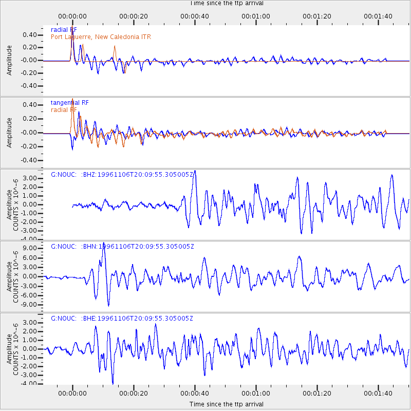
Earthquake location: Bonin Islands, Japan Region
Earthquake latitude/longitude: 28.0/143.5
Earthquake time(UTC): 1996/11/06 (311) 20:00:58 GMT
Earthquake Depth: 9.0 km
Earthquake Magnitude: 6.4 MB, 6.5 MS, 6.6 UNKNOWN, 6.4 ME
Earthquake Catalog/Contributor: WHDF/NEIC
Network: G GEOSCOPE
Station: NOUC Port Laguerre, New Caledonia
Lat/Lon: 22.10 S/166.30 E
Elevation: 112 m
Distance: 54.4 deg
Az: 153.826 deg
Baz: 335.129 deg
Ray Param: 0.06544582
Estimated Moho Depth: 23.75 km
Estimated Crust Vp/Vs: 1.60
Assumed Crust Vp: 5.14 km/s
Estimated Crust Vs: 3.212 km/s
Estimated Crust Poisson's Ratio: 0.18
Radial Match: 87.67847 %
Radial Bump: 400
Transverse Match: 84.97758 %
Transverse Bump: 400
SOD ConfigId: 4480
Insert Time: 2010-02-26 23:36:51.477 +0000
GWidth: 2.5
Max Bumps: 400
Tol: 0.001

Signal To Noise

ChannelStoNSTALTA
G:NOUC: :BHN:19961106T20:09:55.305005Z2.65333536.8318974E-72.5748338E-7
G:NOUC: :BHE:19961106T20:09:55.305005Z1.57917314.5134925E-72.8581366E-7
G:NOUC: :BHZ:19961106T20:09:55.305005Z1.10987092.6668766E-72.4028708E-7
Arrivals
Ps2.9 SECOND
PpPs12 SECOND
PsPs/PpSs14 SECOND