PAF Port aux Francais, Kerguelen (South Indian Ocean) - Earthquake Result Viewer
Earthquake location: Irian Jaya Region, Indonesia
Earthquake latitude/longitude: -4.0/135.0
Earthquake time(UTC): 2004/02/07 (038) 02:42:35 GMT
Earthquake Depth: 10 km
Earthquake Magnitude: 6.2 MB, 7.5 MS, 7.3 MW, 7.3 MW
Earthquake Catalog/Contributor: WHDF/NEIC
Network: G GEOSCOPE
Station: PAF Port aux Francais, Kerguelen (South Indian Ocean)
Lat/Lon: 49.35 S/70.21 E
Elevation: 17 m
Distance: 70.7 deg
Az: 218.821 deg
Baz: 73.006 deg
Ray Param: 0.054793492
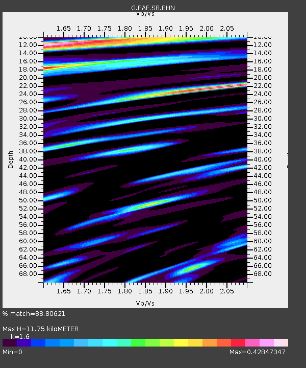
Estimated Moho Depth: 11.75 km
Estimated Crust Vp/Vs: 1.60
Assumed Crust Vp: 4.73 km/s
Estimated Crust Vs: 2.956 km/s
Estimated Crust Poisson's Ratio: 0.18
Radial Match: 88.80621 %
Radial Bump: 400
Transverse Match: 74.55831 %
Transverse Bump: 400
SOD ConfigId: 2459
Insert Time: 2010-02-26 23:39:47.230 +0000
GWidth: 2.5
Max Bumps: 400
Tol: 0.001

Signal To Noise

ChannelStoNSTALTA
G:PAF:SB:BHN:20040207T02:53:20.063027Z0.77212579.48429E-71.2283349E-6
G:PAF:SB:BHE:20040207T02:53:20.063027Z1.55866792.5373859E-61.6279196E-6
G:PAF:SB:BHZ:20040207T02:53:20.063027Z3.56854257.571788E-62.1218154E-6
Arrivals
Ps1.5 SECOND
PpPs6.3 SECOND
PsPs/PpSs7.8 SECOND