LZH Lanzhou,Gansu Province - Earthquake Result Viewer
Earthquake location: Irian Jaya Region, Indonesia
Earthquake latitude/longitude: -0.7/133.3
Earthquake time(UTC): 2012/06/01 (153) 06:56:20 GMT
Earthquake Depth: 25 km
Earthquake Magnitude: 5.8 MB, 5.6 MS, 5.8 MW, 5.7 MW
Earthquake Catalog/Contributor: WHDF/NEIC
Network: CB China National Seismic Network
Station: LZH Lanzhou,Gansu Province
Lat/Lon: 36.09 N/103.84 E
Elevation: 1560 m
Distance: 45.7 deg
Az: 326.234 deg
Baz: 136.676 deg
Ray Param: 0.071047984
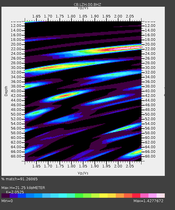
Estimated Moho Depth: 21.25 km
Estimated Crust Vp/Vs: 2.05
Assumed Crust Vp: 6.306 km/s
Estimated Crust Vs: 3.072 km/s
Estimated Crust Poisson's Ratio: 0.34
Radial Match: 91.26865 %
Radial Bump: 400
Transverse Match: 75.78674 %
Transverse Bump: 400
SOD ConfigId: 455246
Insert Time: 2012-09-25 04:24:11.439 +0000
GWidth: 2.5
Max Bumps: 400
Tol: 0.001

Signal To Noise

ChannelStoNSTALTA
CB:LZH:00:BHZ:20120601T07:04:08.449991Z6.9634316.665665E-79.572386E-8
CB:LZH:00:BHN:20120601T07:04:08.449991Z2.04850322.8002353E-71.3669666E-7
CB:LZH:00:BHE:20120601T07:04:08.449991Z1.883862.452784E-71.3019991E-7
Arrivals
Ps3.7 SECOND
PpPs9.8 SECOND
PsPs/PpSs13 SECOND