GOM Geermu,Qinghai Province - Earthquake Result Viewer
Earthquake location: Off East Coast Of Honshu, Japan
Earthquake latitude/longitude: 34.9/141.1
Earthquake time(UTC): 2012/06/05 (157) 19:31:33 GMT
Earthquake Depth: 15 km
Earthquake Magnitude: 6.2 MB, 6.0 MS, 6.1 MW, 6.1 MW
Earthquake Catalog/Contributor: WHDF/NEIC
Network: CB China National Seismic Network
Station: GOM Geermu,Qinghai Province
Lat/Lon: 36.20 N/94.81 E
Elevation: 3121 m
Distance: 37.4 deg
Az: 285.709 deg
Baz: 77.881 deg
Ray Param: 0.07613377
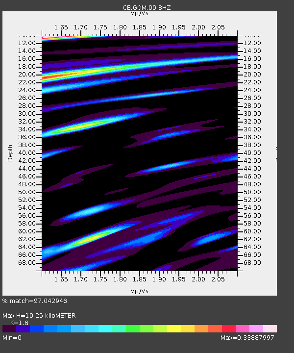
Estimated Moho Depth: 10.25 km
Estimated Crust Vp/Vs: 1.60
Assumed Crust Vp: 6.385 km/s
Estimated Crust Vs: 3.991 km/s
Estimated Crust Poisson's Ratio: 0.18
Radial Match: 97.042946 %
Radial Bump: 313
Transverse Match: 92.977066 %
Transverse Bump: 400
SOD ConfigId: 458385
Insert Time: 2012-10-16 09:48:17.014 +0000
GWidth: 2.5
Max Bumps: 400
Tol: 0.001

Signal To Noise

ChannelStoNSTALTA
CB:GOM:00:BHZ:20120605T19:38:15.309998Z7.59025245.1831563E-76.828701E-8
CB:GOM:00:BHN:20120605T19:38:15.309998Z1.69782678.7128626E-85.1317738E-8
CB:GOM:00:BHE:20120605T19:38:15.309998Z4.7959641.8983432E-73.95821E-8
Arrivals
Ps1.0 SECOND
PpPs3.8 SECOND
PsPs/PpSs4.9 SECOND