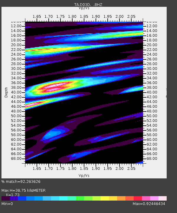
D03D Eldon, WA, USA - Earthquake Result Viewer

Earthquake location: Off East Coast Of Honshu, Japan
Earthquake latitude/longitude: 34.9/141.1
Earthquake time(UTC): 2012/06/05 (157) 19:31:33 GMT
Earthquake Depth: 15 km
Earthquake Magnitude: 6.2 MB, 6.0 MS, 6.1 MW, 6.1 MW
Earthquake Catalog/Contributor: WHDF/NEIC
Network: TA USArray Transportable Network (new EarthScope stations)
Station: D03D Eldon, WA, USA
Lat/Lon: 47.53 N/123.09 W
Elevation: 262 m
Distance: 68.7 deg
Az: 46.352 deg
Baz: 298.684 deg
Ray Param: 0.05612311
Estimated Moho Depth: 36.75 km
Estimated Crust Vp/Vs: 1.73
Assumed Crust Vp: 6.566 km/s
Estimated Crust Vs: 3.795 km/s
Estimated Crust Poisson's Ratio: 0.25
Radial Match: 92.263626 %
Radial Bump: 400
Transverse Match: 89.97769 %
Transverse Bump: 400
SOD ConfigId: 458385
Insert Time: 2012-10-16 10:19:37.721 +0000
GWidth: 2.5
Max Bumps: 400
Tol: 0.001

Signal To Noise

ChannelStoNSTALTA
TA:D03D: :BHZ:20120605T19:42:05.325012Z9.3718581.4435029E-61.5402526E-7
TA:D03D: :BHN:20120605T19:42:05.325012Z2.8081292.894643E-71.0308084E-7
TA:D03D: :BHE:20120605T19:42:05.325012Z4.19010163.970584E-79.4761035E-8
Arrivals
Ps4.3 SECOND
PpPs15 SECOND
PsPs/PpSs19 SECOND