T38A Diamond, MO, USA - Earthquake Result Viewer
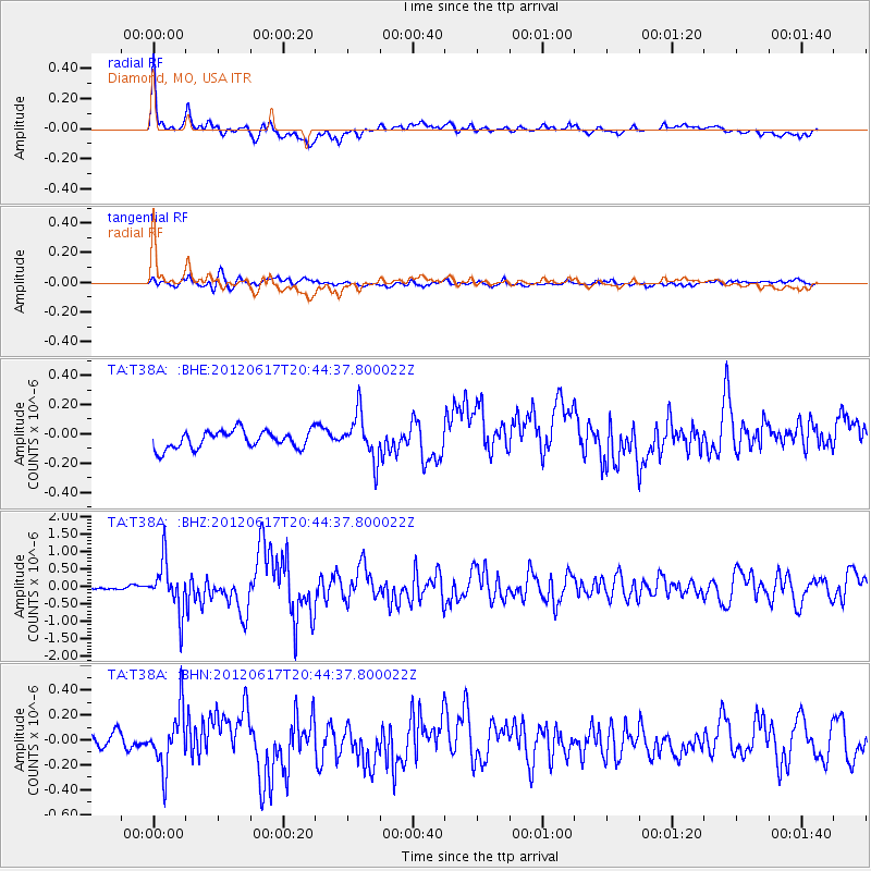
Earthquake location: Near East Coast Of Honshu, Japan
Earthquake latitude/longitude: 38.9/141.8
Earthquake time(UTC): 2012/06/17 (169) 20:32:20 GMT
Earthquake Depth: 36 km
Earthquake Magnitude: 6.0 MB, 5.9 MS, 6.3 MW, 6.4 MW
Earthquake Catalog/Contributor: WHDF/NEIC
Network: TA USArray Transportable Network (new EarthScope stations)
Station: T38A Diamond, MO, USA
Lat/Lon: 37.04 N/94.29 W
Elevation: 349 m
Distance: 88.4 deg
Az: 41.653 deg
Baz: 319.616 deg
Ray Param: 0.042539045
Estimated Moho Depth: 42.75 km
Estimated Crust Vp/Vs: 1.80
Assumed Crust Vp: 6.53 km/s
Estimated Crust Vs: 3.633 km/s
Estimated Crust Poisson's Ratio: 0.28
Radial Match: 89.08555 %
Radial Bump: 400
Transverse Match: 58.959156 %
Transverse Bump: 400
SOD ConfigId: 460165
Insert Time: 2013-02-11 21:18:30.644 +0000
GWidth: 2.5
Max Bumps: 400
Tol: 0.001

Signal To Noise

ChannelStoNSTALTA
TA:T38A: :BHZ:20120617T20:44:37.800022Z13.3173387.012427E-75.265637E-8
TA:T38A: :BHN:20120617T20:44:37.800022Z4.15259082.300643E-75.540259E-8
TA:T38A: :BHE:20120617T20:44:37.800022Z2.6027921.5643559E-76.0103E-8
Arrivals
Ps5.3 SECOND
PpPs18 SECOND
PsPs/PpSs23 SECOND