S45A Carrier Mills, IL, USA - Earthquake Result Viewer
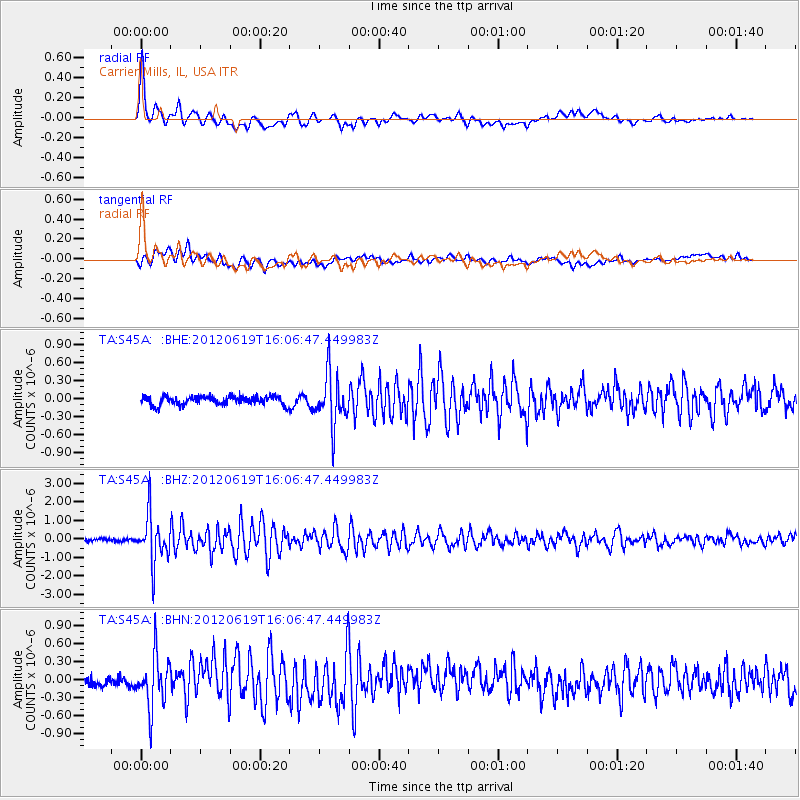
Earthquake location: Near Islands, Aleutian Islands
Earthquake latitude/longitude: 53.4/171.6
Earthquake time(UTC): 2012/06/19 (171) 15:56:32 GMT
Earthquake Depth: 14 km
Earthquake Magnitude: 6.2 MB, 5.7 MS, 6.0 MW, 6.1 MW
Earthquake Catalog/Contributor: WHDF/NEIC
Network: TA USArray Transportable Network (new EarthScope stations)
Station: S45A Carrier Mills, IL, USA
Lat/Lon: 37.68 N/88.58 W
Elevation: 122 m
Distance: 66.0 deg
Az: 58.829 deg
Baz: 319.724 deg
Ray Param: 0.057871602
Estimated Moho Depth: 57.75 km
Estimated Crust Vp/Vs: 1.92
Assumed Crust Vp: 6.444 km/s
Estimated Crust Vs: 3.352 km/s
Estimated Crust Poisson's Ratio: 0.31
Radial Match: 88.40664 %
Radial Bump: 400
Transverse Match: 71.631065 %
Transverse Bump: 400
SOD ConfigId: 460165
Insert Time: 2013-02-11 22:18:15.769 +0000
GWidth: 2.5
Max Bumps: 400
Tol: 0.001

Signal To Noise

ChannelStoNSTALTA
TA:S45A: :BHZ:20120619T16:06:47.449983Z16.5971621.2636168E-67.613451E-8
TA:S45A: :BHN:20120619T16:06:47.449983Z5.2301154.2863786E-78.1955726E-8
TA:S45A: :BHE:20120619T16:06:47.449983Z5.9460024.239968E-77.130788E-8
Arrivals
Ps8.6 SECOND
PpPs25 SECOND
PsPs/PpSs34 SECOND