BFS Mt Baldy Forest Station - Earthquake Result Viewer
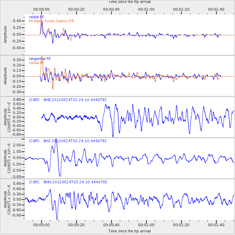
Earthquake location: Near East Coast Of Kamchatka
Earthquake latitude/longitude: 57.6/163.2
Earthquake time(UTC): 2012/06/24 (176) 03:15:01 GMT
Earthquake Depth: 10 km
Earthquake Magnitude: 5.8 MB, 5.8 MS, 6.0 MW, 6.1 MW
Earthquake Catalog/Contributor: WHDF/NEIC
Network: CI Caltech Regional Seismic Network
Station: BFS Mt Baldy Forest Station
Lat/Lon: 34.24 N/117.66 W
Elevation: 1312 m
Distance: 56.2 deg
Az: 78.194 deg
Baz: 320.497 deg
Ray Param: 0.064281486
Estimated Moho Depth: 13.75 km
Estimated Crust Vp/Vs: 1.60
Assumed Crust Vp: 6.276 km/s
Estimated Crust Vs: 3.922 km/s
Estimated Crust Poisson's Ratio: 0.18
Radial Match: 90.873344 %
Radial Bump: 400
Transverse Match: 88.60362 %
Transverse Bump: 400
SOD ConfigId: 462790
Insert Time: 2013-02-12 17:15:23.266 +0000
GWidth: 2.5
Max Bumps: 400
Tol: 0.001

Signal To Noise

ChannelStoNSTALTA
CI:BFS: :BHZ:20120624T03:24:10.444978Z8.486678.8930267E-71.0478818E-7
CI:BFS: :BHN:20120624T03:24:10.444978Z2.6909722.0982473E-77.797358E-8
CI:BFS: :BHE:20120624T03:24:10.444978Z3.35293652.578322E-77.689743E-8
Arrivals
Ps1.4 SECOND
PpPs5.4 SECOND
PsPs/PpSs6.8 SECOND