DRK Karamyk, Kyrgyzstan - Earthquake Result Viewer
Earthquake location: New Ireland Region, P.N.G.
Earthquake latitude/longitude: -4.7/153.3
Earthquake time(UTC): 2012/07/07 (189) 03:35:28 GMT
Earthquake Depth: 35 km
Earthquake Magnitude: 5.6 MB, 5.3 MS, 5.7 MW, 5.7 MW
Earthquake Catalog/Contributor: WHDF/NEIC
Network: KR Kyrgyz Digital Network
Station: DRK Karamyk, Kyrgyzstan
Lat/Lon: 39.48 N/71.80 E
Elevation: 2627 m
Distance: 86.4 deg
Az: 309.919 deg
Baz: 98.974 deg
Ray Param: 0.044044558
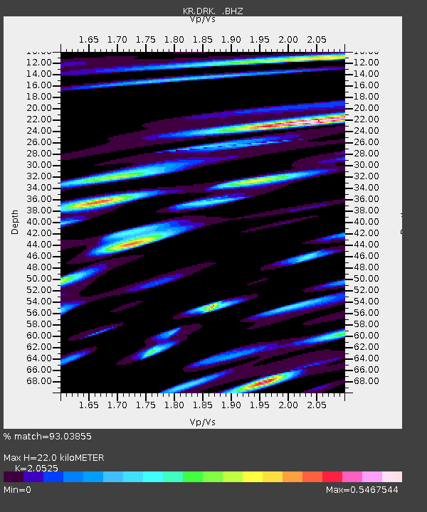
Estimated Moho Depth: 22.0 km
Estimated Crust Vp/Vs: 2.05
Assumed Crust Vp: 6.306 km/s
Estimated Crust Vs: 3.072 km/s
Estimated Crust Poisson's Ratio: 0.34
Radial Match: 93.03855 %
Radial Bump: 400
Transverse Match: 86.329605 %
Transverse Bump: 400
SOD ConfigId: 463687
Insert Time: 2013-02-20 19:40:24.776 +0000
GWidth: 2.5
Max Bumps: 400
Tol: 0.001

Signal To Noise

ChannelStoNSTALTA
KR:DRK: :BHZ:20120707T03:47:36.049971Z5.6590692.648621E-94.680312E-10
KR:DRK: :BHN:20120707T03:47:36.049971Z1.31082989.0829383E-106.9291517E-10
KR:DRK: :BHE:20120707T03:47:36.049971Z0.899216656.092114E-106.7749123E-10
Arrivals
Ps3.7 SECOND
PpPs10 SECOND
PsPs/PpSs14 SECOND