TAM Tamanrasset, Algeria - Earthquake Result Viewer
Earthquake location: South Sandwich Islands Region
Earthquake latitude/longitude: -58.2/-22.1
Earthquake time(UTC): 2008/06/30 (182) 06:17:44 GMT
Earthquake Depth: 19 km
Earthquake Magnitude: 6.1 MB, 6.7 MS, 7.0 MW, 6.9 MW
Earthquake Catalog/Contributor: WHDF/NEIC
Network: G GEOSCOPE
Station: TAM Tamanrasset, Algeria
Lat/Lon: 22.79 N/5.53 E
Elevation: 1377 m
Distance: 83.9 deg
Az: 25.49 deg
Baz: 194.288 deg
Ray Param: 0.045827996
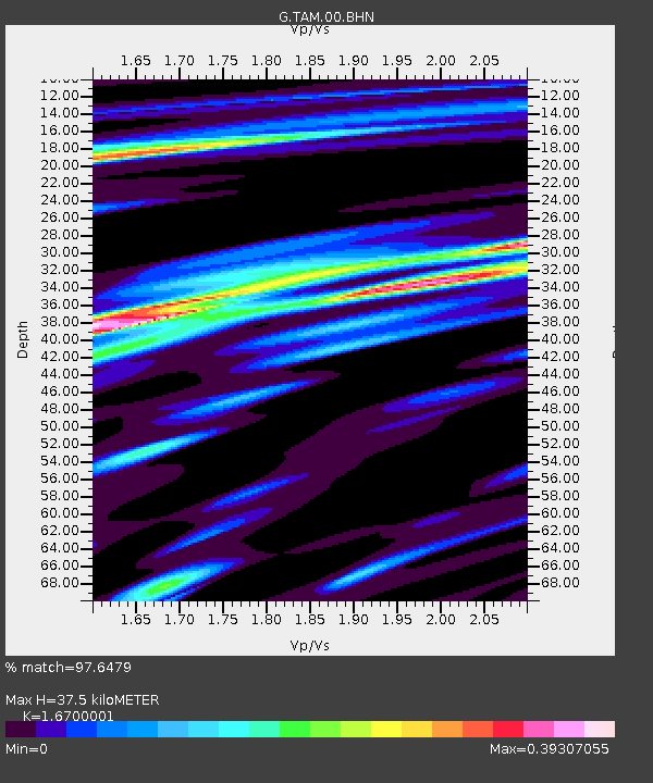
Estimated Moho Depth: 37.5 km
Estimated Crust Vp/Vs: 1.67
Assumed Crust Vp: 6.61 km/s
Estimated Crust Vs: 3.958 km/s
Estimated Crust Poisson's Ratio: 0.22
Radial Match: 97.6479 %
Radial Bump: 293
Transverse Match: 86.37749 %
Transverse Bump: 400
SOD ConfigId: 2504
Insert Time: 2010-02-27 00:23:35.728 +0000
GWidth: 2.5
Max Bumps: 400
Tol: 0.001

Signal To Noise

ChannelStoNSTALTA
G:TAM:00:BHN:20080630T06:29:42.048997Z23.4672741.4087663E-66.0031105E-8
G:TAM:00:BHE:20080630T06:29:42.048997Z13.8548475.0500887E-73.6449975E-8
G:TAM:00:BHZ:20080630T06:29:42.048997Z4.06406071.4964367E-73.6821216E-8
Arrivals
Ps3.9 SECOND
PpPs15 SECOND
PsPs/PpSs19 SECOND