TAM Tamanrasset, Algeria - Earthquake Result Viewer
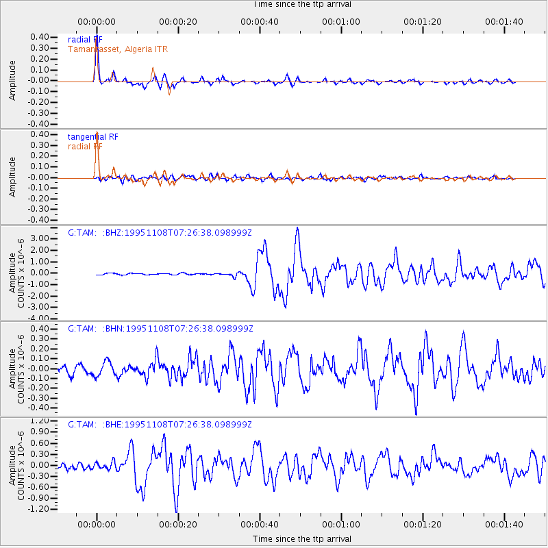
Earthquake location: Off W Coast Of Northern Sumatra
Earthquake latitude/longitude: 1.9/95.1
Earthquake time(UTC): 1995/11/08 (312) 07:14:18 GMT
Earthquake Depth: 33 km
Earthquake Magnitude: 6.1 MB, 6.9 MS, 6.7 UNKNOWN, 6.9 MW
Earthquake Catalog/Contributor: WHDF/NEIC
Network: G GEOSCOPE
Station: TAM Tamanrasset, Algeria
Lat/Lon: 22.79 N/5.53 E
Elevation: 1377 m
Distance: 88.9 deg
Az: 292.631 deg
Baz: 88.48 deg
Ray Param: 0.042228673
Estimated Moho Depth: 34.75 km
Estimated Crust Vp/Vs: 1.78
Assumed Crust Vp: 6.61 km/s
Estimated Crust Vs: 3.713 km/s
Estimated Crust Poisson's Ratio: 0.27
Radial Match: 96.79177 %
Radial Bump: 329
Transverse Match: 84.14754 %
Transverse Bump: 400
SOD ConfigId: 6273
Insert Time: 2010-02-27 00:29:07.594 +0000
GWidth: 2.5
Max Bumps: 400
Tol: 0.001

Signal To Noise

ChannelStoNSTALTA
G:TAM: :BHN:19951108T07:26:38.098999Z1.78631887.3406135E-84.1093525E-8
G:TAM: :BHE:19951108T07:26:38.098999Z1.49753559.872601E-86.5925654E-8
G:TAM: :BHZ:19951108T07:26:38.098999Z2.58676891.5674016E-76.0593024E-8
Arrivals
Ps4.2 SECOND
PpPs14 SECOND
PsPs/PpSs18 SECOND