P37A Lathrop, MO, USA - Earthquake Result Viewer
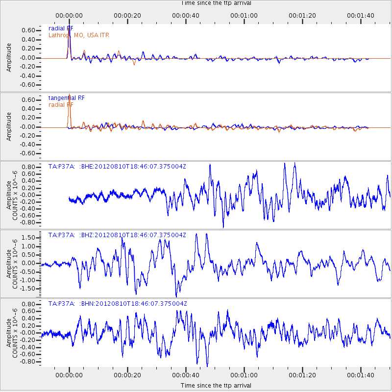
Earthquake location: Fox Islands, Aleutian Islands
Earthquake latitude/longitude: 52.6/-167.4
Earthquake time(UTC): 2012/08/10 (223) 18:37:43 GMT
Earthquake Depth: 13 km
Earthquake Magnitude: 5.9 MB, 6.2 MS, 6.2 MW, 6.2 MW
Earthquake Catalog/Contributor: WHDF/NEIC
Network: TA USArray Transportable Network (new EarthScope stations)
Station: P37A Lathrop, MO, USA
Lat/Lon: 39.59 N/94.35 W
Elevation: 300 m
Distance: 50.2 deg
Az: 74.251 deg
Baz: 310.612 deg
Ray Param: 0.068219066
Estimated Moho Depth: 50.25 km
Estimated Crust Vp/Vs: 1.63
Assumed Crust Vp: 6.498 km/s
Estimated Crust Vs: 3.992 km/s
Estimated Crust Poisson's Ratio: 0.20
Radial Match: 95.58833 %
Radial Bump: 397
Transverse Match: 58.3438 %
Transverse Bump: 400
SOD ConfigId: 469095
Insert Time: 2013-02-22 05:54:21.031 +0000
GWidth: 2.5
Max Bumps: 400
Tol: 0.001

Signal To Noise

ChannelStoNSTALTA
TA:P37A: :BHZ:20120810T18:46:07.375004Z6.17487054.9092836E-77.950423E-8
TA:P37A: :BHN:20120810T18:46:07.375004Z2.8294362.2328156E-77.89138E-8
TA:P37A: :BHE:20120810T18:46:07.375004Z2.3317162.1385365E-79.171514E-8
Arrivals
Ps5.2 SECOND
PpPs19 SECOND
PsPs/PpSs24 SECOND