T40A Mansfield, MO, USA - Earthquake Result Viewer
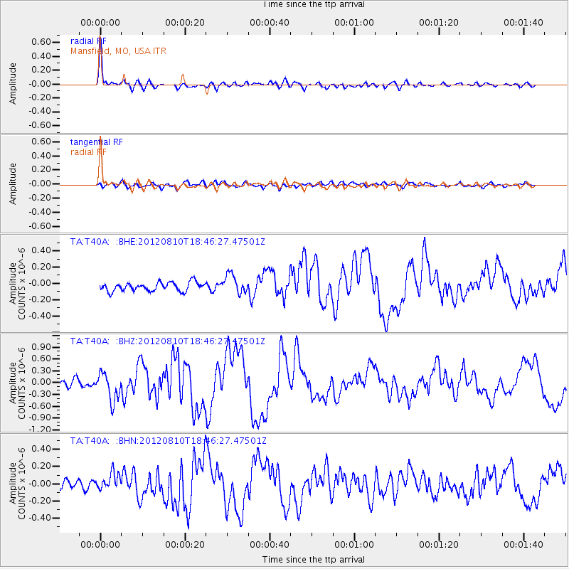
Earthquake location: Fox Islands, Aleutian Islands
Earthquake latitude/longitude: 52.6/-167.4
Earthquake time(UTC): 2012/08/10 (223) 18:37:43 GMT
Earthquake Depth: 13 km
Earthquake Magnitude: 5.9 MB, 6.2 MS, 6.2 MW, 6.2 MW
Earthquake Catalog/Contributor: WHDF/NEIC
Network: TA USArray Transportable Network (new EarthScope stations)
Station: T40A Mansfield, MO, USA
Lat/Lon: 37.15 N/92.52 W
Elevation: 399 m
Distance: 52.9 deg
Az: 75.36 deg
Baz: 312.434 deg
Ray Param: 0.066471025
Estimated Moho Depth: 51.5 km
Estimated Crust Vp/Vs: 1.66
Assumed Crust Vp: 6.53 km/s
Estimated Crust Vs: 3.928 km/s
Estimated Crust Poisson's Ratio: 0.22
Radial Match: 92.55513 %
Radial Bump: 400
Transverse Match: 70.4437 %
Transverse Bump: 400
SOD ConfigId: 469095
Insert Time: 2013-02-22 05:55:19.283 +0000
GWidth: 2.5
Max Bumps: 400
Tol: 0.001

Signal To Noise

ChannelStoNSTALTA
TA:T40A: :BHZ:20120810T18:46:27.47501Z4.07424933.5418873E-78.69335E-8
TA:T40A: :BHN:20120810T18:46:27.47501Z1.93313489.662266E-84.998237E-8
TA:T40A: :BHE:20120810T18:46:27.47501Z2.2168991.1838957E-75.3403234E-8
Arrivals
Ps5.6 SECOND
PpPs20 SECOND
PsPs/PpSs25 SECOND