R41A Rosebud, MO, USA - Earthquake Result Viewer
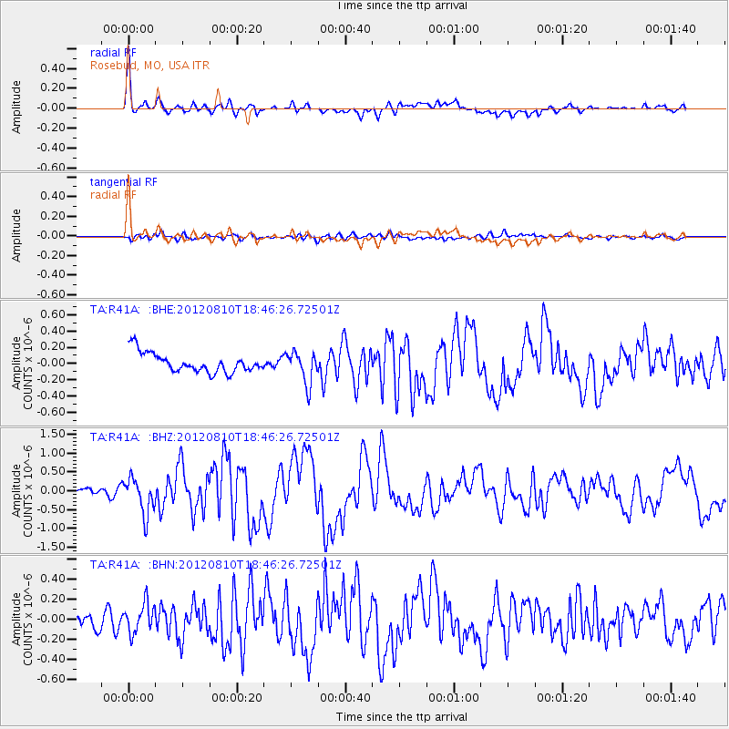
Earthquake location: Fox Islands, Aleutian Islands
Earthquake latitude/longitude: 52.6/-167.4
Earthquake time(UTC): 2012/08/10 (223) 18:37:43 GMT
Earthquake Depth: 13 km
Earthquake Magnitude: 5.9 MB, 6.2 MS, 6.2 MW, 6.2 MW
Earthquake Catalog/Contributor: WHDF/NEIC
Network: TA USArray Transportable Network (new EarthScope stations)
Station: R41A Rosebud, MO, USA
Lat/Lon: 38.30 N/91.38 W
Elevation: 257 m
Distance: 52.8 deg
Az: 73.534 deg
Baz: 312.025 deg
Ray Param: 0.06653795
Estimated Moho Depth: 47.25 km
Estimated Crust Vp/Vs: 1.70
Assumed Crust Vp: 6.498 km/s
Estimated Crust Vs: 3.816 km/s
Estimated Crust Poisson's Ratio: 0.24
Radial Match: 91.812584 %
Radial Bump: 400
Transverse Match: 69.75173 %
Transverse Bump: 400
SOD ConfigId: 469095
Insert Time: 2013-02-22 06:01:34.426 +0000
GWidth: 2.5
Max Bumps: 400
Tol: 0.001

Signal To Noise

ChannelStoNSTALTA
TA:R41A: :BHZ:20120810T18:46:26.72501Z5.328364.829588E-79.06393E-8
TA:R41A: :BHN:20120810T18:46:26.72501Z1.44522931.502314E-71.03949866E-7
TA:R41A: :BHE:20120810T18:46:26.72501Z1.64234651.9800989E-71.2056523E-7
Arrivals
Ps5.4 SECOND
PpPs19 SECOND
PsPs/PpSs24 SECOND