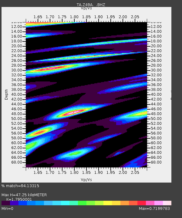
Z49A Columbiana, AL, USA - Earthquake Result Viewer

Earthquake location: Fox Islands, Aleutian Islands
Earthquake latitude/longitude: 52.6/-167.4
Earthquake time(UTC): 2012/08/10 (223) 18:37:43 GMT
Earthquake Depth: 13 km
Earthquake Magnitude: 5.9 MB, 6.2 MS, 6.2 MW, 6.2 MW
Earthquake Catalog/Contributor: WHDF/NEIC
Network: TA USArray Transportable Network (new EarthScope stations)
Station: Z49A Columbiana, AL, USA
Lat/Lon: 33.19 N/86.53 W
Elevation: 134 m
Distance: 59.1 deg
Az: 74.676 deg
Baz: 315.489 deg
Ray Param: 0.06237737
Estimated Moho Depth: 47.25 km
Estimated Crust Vp/Vs: 1.80
Assumed Crust Vp: 6.565 km/s
Estimated Crust Vs: 3.657 km/s
Estimated Crust Poisson's Ratio: 0.27
Radial Match: 94.13315 %
Radial Bump: 400
Transverse Match: 73.48113 %
Transverse Bump: 400
SOD ConfigId: 469095
Insert Time: 2013-02-22 06:09:33.560 +0000
GWidth: 2.5
Max Bumps: 400
Tol: 0.001

Signal To Noise

ChannelStoNSTALTA
TA:Z49A: :BHZ:20120810T18:47:12.249973Z6.38286643.9759027E-76.229024E-8
TA:Z49A: :BHN:20120810T18:47:12.249973Z2.39998961.5304563E-76.376929E-8
TA:Z49A: :BHE:20120810T18:47:12.249973Z2.17489981.5069195E-76.928684E-8
Arrivals
Ps6.0 SECOND
PpPs19 SECOND
PsPs/PpSs25 SECOND