V49A McMinnville, TN, USA - Earthquake Result Viewer
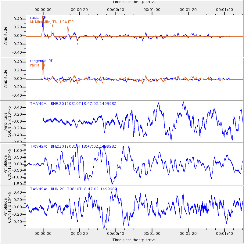
Earthquake location: Fox Islands, Aleutian Islands
Earthquake latitude/longitude: 52.6/-167.4
Earthquake time(UTC): 2012/08/10 (223) 18:37:43 GMT
Earthquake Depth: 13 km
Earthquake Magnitude: 5.9 MB, 6.2 MS, 6.2 MW, 6.2 MW
Earthquake Catalog/Contributor: WHDF/NEIC
Network: TA USArray Transportable Network (new EarthScope stations)
Station: V49A McMinnville, TN, USA
Lat/Lon: 35.77 N/85.90 W
Elevation: 329 m
Distance: 57.7 deg
Az: 72.116 deg
Baz: 314.502 deg
Ray Param: 0.06332054
Estimated Moho Depth: 31.5 km
Estimated Crust Vp/Vs: 1.97
Assumed Crust Vp: 6.35 km/s
Estimated Crust Vs: 3.232 km/s
Estimated Crust Poisson's Ratio: 0.33
Radial Match: 93.58455 %
Radial Bump: 400
Transverse Match: 58.09483 %
Transverse Bump: 400
SOD ConfigId: 469095
Insert Time: 2013-02-22 06:14:13.327 +0000
GWidth: 2.5
Max Bumps: 400
Tol: 0.001

Signal To Noise

ChannelStoNSTALTA
TA:V49A: :BHZ:20120810T18:47:02.149998Z5.8490943.7215437E-76.362599E-8
TA:V49A: :BHN:20120810T18:47:02.149998Z1.67288951.2260648E-77.3290245E-8
TA:V49A: :BHE:20120810T18:47:02.149998Z2.5566871.3734011E-75.3717997E-8
Arrivals
Ps5.0 SECOND
PpPs14 SECOND
PsPs/PpSs19 SECOND