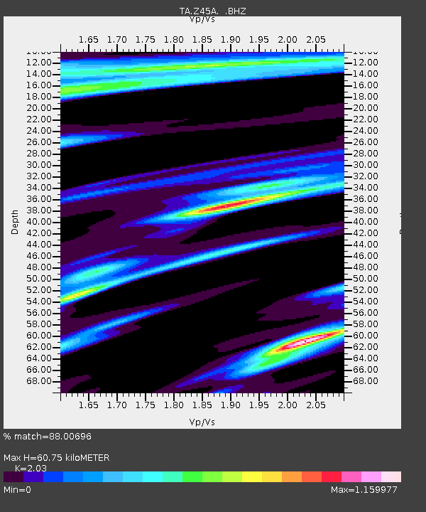
Z45A Winona, MS, USA - Earthquake Result Viewer

Earthquake location: Andreanof Islands, Aleutian Is.
Earthquake latitude/longitude: 51.6/-178.3
Earthquake time(UTC): 2012/09/26 (270) 23:39:55 GMT
Earthquake Depth: 16 km
Earthquake Magnitude: 6.3 MB, 6.5 MS, 6.4 MW, 6.4 MW
Earthquake Catalog/Contributor: WHDF/NEIC
Network: TA USArray Transportable Network (new EarthScope stations)
Station: Z45A Winona, MS, USA
Lat/Lon: 33.37 N/89.69 W
Elevation: 113 m
Distance: 63.9 deg
Az: 68.734 deg
Baz: 315.997 deg
Ray Param: 0.059289888
Estimated Moho Depth: 60.75 km
Estimated Crust Vp/Vs: 2.03
Assumed Crust Vp: 6.201 km/s
Estimated Crust Vs: 3.055 km/s
Estimated Crust Poisson's Ratio: 0.34
Radial Match: 88.00696 %
Radial Bump: 336
Transverse Match: 85.896095 %
Transverse Bump: 400
SOD ConfigId: 478790
Insert Time: 2013-02-22 23:27:19.244 +0000
GWidth: 2.5
Max Bumps: 400
Tol: 0.001

Signal To Noise

ChannelStoNSTALTA
TA:Z45A: :BHZ:20120926T23:49:55.59999Z11.8125112.2497052E-61.9045103E-7
TA:Z45A: :BHN:20120926T23:49:55.59999Z2.6924139.958319E-73.6986594E-7
TA:Z45A: :BHE:20120926T23:49:55.59999Z2.4701087.254986E-72.937113E-7
Arrivals
Ps10 SECOND
PpPs29 SECOND
PsPs/PpSs39 SECOND