S51A Beattyville, KY, USA - Earthquake Result Viewer
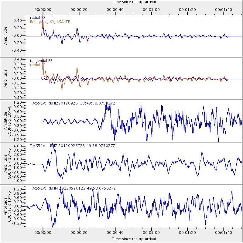
Earthquake location: Andreanof Islands, Aleutian Is.
Earthquake latitude/longitude: 51.6/-178.3
Earthquake time(UTC): 2012/09/26 (270) 23:39:55 GMT
Earthquake Depth: 16 km
Earthquake Magnitude: 6.3 MB, 6.5 MS, 6.4 MW, 6.4 MW
Earthquake Catalog/Contributor: WHDF/NEIC
Network: TA USArray Transportable Network (new EarthScope stations)
Station: S51A Beattyville, KY, USA
Lat/Lon: 37.64 N/83.59 W
Elevation: 286 m
Distance: 64.2 deg
Az: 61.465 deg
Baz: 316.342 deg
Ray Param: 0.059039813
Estimated Moho Depth: 46.0 km
Estimated Crust Vp/Vs: 1.80
Assumed Crust Vp: 6.476 km/s
Estimated Crust Vs: 3.608 km/s
Estimated Crust Poisson's Ratio: 0.27
Radial Match: 89.11673 %
Radial Bump: 400
Transverse Match: 75.364235 %
Transverse Bump: 400
SOD ConfigId: 478790
Insert Time: 2013-02-22 23:50:01.195 +0000
GWidth: 2.5
Max Bumps: 400
Tol: 0.001

Signal To Noise

ChannelStoNSTALTA
TA:S51A: :BHZ:20120926T23:49:58.075027Z9.7441419.957752E-71.02192196E-7
TA:S51A: :BHN:20120926T23:49:58.075027Z2.98763973.5986014E-71.2044964E-7
TA:S51A: :BHE:20120926T23:49:58.075027Z3.62356113.3791164E-79.325402E-8
Arrivals
Ps5.9 SECOND
PpPs19 SECOND
PsPs/PpSs25 SECOND