BALB Balikesir-Turkiye - Earthquake Result Viewer
Earthquake location: Northern Mid-Atlantic Ridge
Earthquake latitude/longitude: 17.5/-46.5
Earthquake time(UTC): 2012/10/05 (279) 00:19:56 GMT
Earthquake Depth: 10 km
Earthquake Magnitude: 5.7 MW, 5.3 MS, 5.2 MB, 5.5 MW
Earthquake Catalog/Contributor: WHDF/NEIC
Network: KO Kandilli Observatory Digital Broadband Seismic Network
Station: BALB Balikesir-Turkiye
Lat/Lon: 39.64 N/27.88 E
Elevation: 120 m
Distance: 67.1 deg
Az: 53.797 deg
Baz: 274.157 deg
Ray Param: 0.0571576
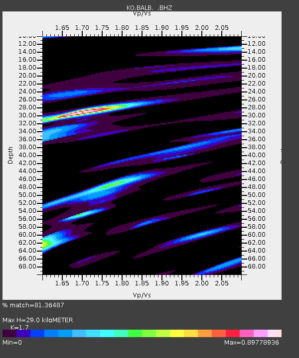
Estimated Moho Depth: 29.0 km
Estimated Crust Vp/Vs: 1.70
Assumed Crust Vp: 6.155 km/s
Estimated Crust Vs: 3.62 km/s
Estimated Crust Poisson's Ratio: 0.24
Radial Match: 81.36487 %
Radial Bump: 400
Transverse Match: 79.69479 %
Transverse Bump: 400
SOD ConfigId: 478790
Insert Time: 2013-02-23 02:04:59.747 +0000
GWidth: 2.5
Max Bumps: 400
Tol: 0.001

Signal To Noise

ChannelStoNSTALTA
KO:BALB: :BHZ:20121005T00:30:19.519998Z4.7763971.2305813E-62.57638E-7
KO:BALB: :BHN:20121005T00:30:19.519998Z0.580200555.520189E-99.514278E-9
KO:BALB: :BHE:20121005T00:30:19.519998Z2.36009724.9403195E-72.0932697E-7
Arrivals
Ps3.4 SECOND
PpPs12 SECOND
PsPs/PpSs16 SECOND